Observatory, Johannesburg
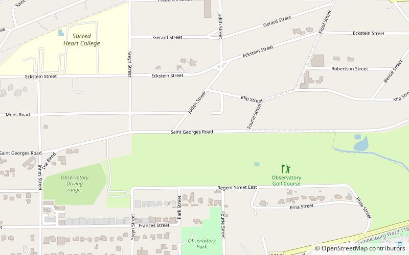
Map
Facts and practical information
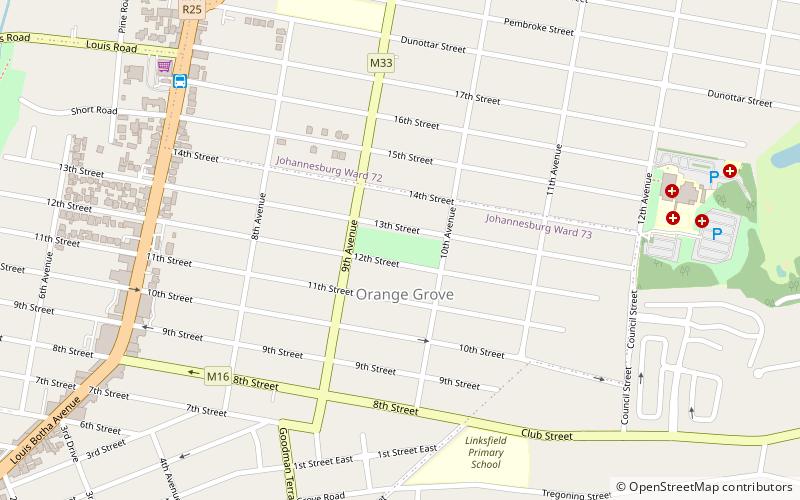
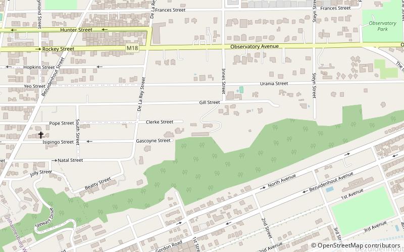
Observatory is a Suburb in Johannesburg's east and is located in Region E of the City of Johannesburg Metropolitan Municipality; it borders the suburbs of Houghton Estate, Cyrildene, Linksfield, Bellevue, Bellevue East and Dewetshof. ()
Local name: Observatory, JohannesburgCoordinates: 26°10'34"S, 28°4'55"E
Address
Johannesburg Inner City (Observatory)Johannesburg
ContactAdd
Social media
Add
Day trips
Observatory – popular in the area (distance from the attraction)
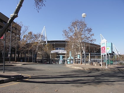
Nearby attractions include: Houghton Golf Club, Yeoville Water Tower, Orange Grove, Union Observatory.
Frequently Asked Questions (FAQ)
How to get to Observatory by public transport?
The nearest stations to Observatory:
Bus
Bus
- BRT Bus Station (25 min walk)
