Rondebosch Common, Cape Town
Map
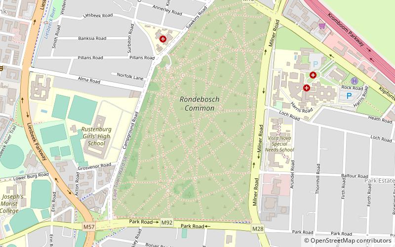
Map

Facts and practical information
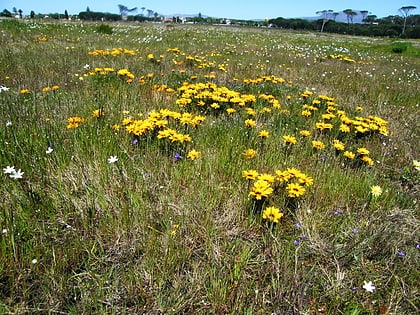
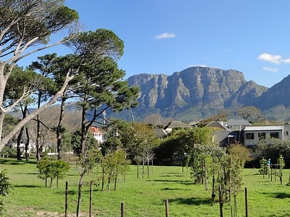
Rondebosch Common is an open common of about 40 hectares in Rondebosch, Cape Town in South Africa. A common is defined as "A piece of open land for public use, esp. in a village or town." It contains one of the few surviving pockets of the critically endangered “Cape Flats Sand Fynbos” vegetation type, which exists nowhere else in the world. ()
Local name: Rondebosch MeentEstablished: 1961 (65 years ago)Elevation: 69 ft a.s.l.Coordinates: 33°57'22"S, 18°28'58"E
Address
Rondebosch - RosebankCape Town
ContactAdd
Social media
Add
Day trips
Rondebosch Common – popular in the area (distance from the attraction)
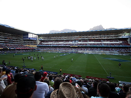
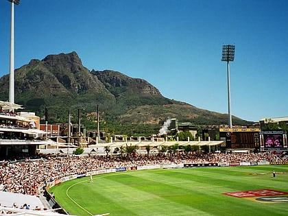
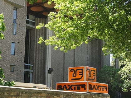
Nearby attractions include: Newlands Stadium, Newlands Cricket Ground, Heart of Cape Town Museum, Baxter Theatre.
Frequently Asked Questions (FAQ)
Which popular attractions are close to Rondebosch Common?
Nearby attractions include Rondebosch Fountain, Cape Town (17 min walk), Rondebosch Park, Cape Town (18 min walk), Baxter Theatre, Cape Town (19 min walk), Rondebosch Library, Cape Town (19 min walk).
How to get to Rondebosch Common by public transport?
The nearest stations to Rondebosch Common:
Train
Bus
Train
- Rosebank (15 min walk)
- Rondebosch (19 min walk)
Bus
- Sandown • Lines: 3 (17 min walk)
- Tugwell • Lines: 1, 4 (18 min walk)
