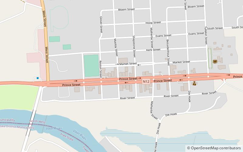
Bloemhof
Map

Map

Facts and practical information
Bloemhof is an agricultural town of about 2,000 inhabitants situated on the banks of the Vaal River in North West Province of South Africa. ()
Alternative names: Established: 1864 (162 years ago)Population: 17.1 thous.Coordinates: 27°39'7"S, 25°36'6"E
Location
North West
ContactAdd
Social media
Add
Day trips
Bloemhof – popular in the area (distance from the attraction)
Nearby attractions include: Bloemhof Dam.

