Sidbury
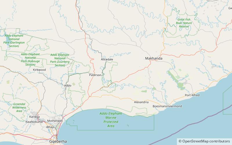
Map

Map

Facts and practical information
Sidbury is a village in the Albany district of the Eastern Cape province of South Africa. ()
Coordinates: 33°25'16"S, 26°10'12"E
Location
Eastern Cape
ContactAdd
Social media
Add
Day trips
Sidbury – popular in the area (distance from the attraction)
Nearby attractions include: Shamwari Game Reserve.

