
Mthatha Travel Guide
Facts and practical information
Nestled in the heart of the Eastern Cape region of South Africa, the town of Mthatha offers visitors a unique cultural experience infused with history and natural beauty. Known as the birthplace of Nelson Mandela, Mthatha is a destination that showcases the triumphs and struggles of South Africa's past, while also offering stunning landscapes and a vibrant local culture.
One of the must-visit attractions in Mthatha is the Nelson Mandela Museum, a tribute to the iconic leader who shaped the course of South African history. The museum is divided into three sections, each showcasing different aspects of Mandela's life, from his early years in the rural village of Qunu to his political activism and imprisonment. Visitors can explore the exhibits, which include personal artifacts, photographs, and interactive displays, gaining a deeper understanding of Mandela's journey and the fight against apartheid.
For nature enthusiasts, the nearby Mthatha Dam is a paradise waiting to be explored. Surrounded by lush greenery and offering breathtaking views, the dam is the perfect spot for picnicking, birdwatching, or simply enjoying the tranquility of nature. Visitors can also indulge in water sports such as fishing or boating, making it an ideal destination for outdoor enthusiasts.
Immerse yourself in the vibrant local culture by visiting the Mthatha Market. Here, you can browse through a variety of stalls selling traditional crafts, fresh produce, and delicious street food. Engage with the friendly locals and learn about their customs and traditions, or simply soak in the lively atmosphere as you wander through the bustling market.
Mthatha also offers a gateway to exploring the scenic wonders of the Eastern Cape. From the breathtaking landscapes of the Wild Coast to the game reserves teeming with wildlife, there is something for everyone. Take a day trip to Coffee Bay, a picturesque coastal town known for its rugged cliffs, pristine beaches, and excellent surf spots. Or venture further inland to the Hluleka Nature Reserve, where you can embark on hiking trails that wind through lush forests and encounter a variety of bird species and wildlife.
Mthatha Attractions - What to See and Explore
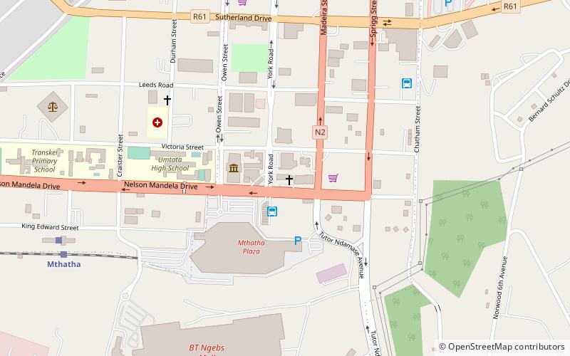
Mthatha offers many attractions and places to visit. Here are the most important ones: St John's Cathedral, King Sabata Dalindyebo Local Municipality, OR Tambo District Municipality. Below you will find a complete list of places worth visiting.
Mthatha – popular in the area (distance from the center)
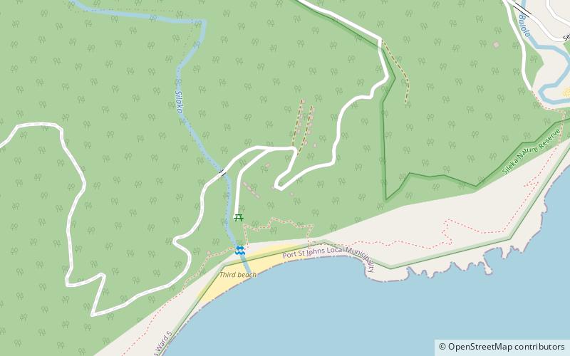
In the vicinity of Mthatha, it's worth seeing attractions such as: Silaka Nature Reserve (Port St Johns), Prentjiesberg, Maputaland–Pondoland bushland and thickets.


Best Time To Visit Mthatha
Learn when is the best time to travel to Mthatha weather-wise and what to expect in each season.