Balfour Park Shopping Centre, East London

Gallery (1)
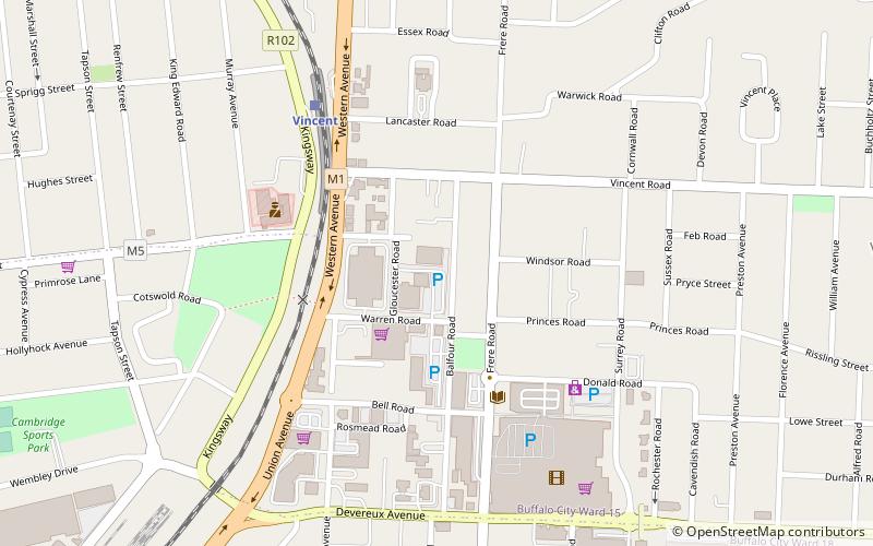
Map
Map
Facts and practical information
Balfour Park Shopping Centre (address: Balfour Road, Vincent) is a place located in East London (Eastern Cape province) and belongs to the category of shopping, shopping centre.
It is situated at an altitude of 387 feet, and its geographical coordinates are 32°58'49"S latitude and 27°54'4"E longitude.
Among other places and attractions worth visiting in the area are: East London Museum (museum, 27 min walk), Ann Bryant Art Gallery (museum, 36 min walk), North End Stadium (sport, 45 min walk).
Coordinates: 32°58'49"S, 27°54'4"E
Day trips