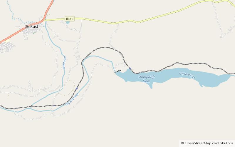
Stompdrift Dam

Map
Facts and practical information
Stompdrift Dam is a combined multi-arch and gravity type dam located on the Olifants River near De Rust, Western Cape, South Africa. ()
Local name: StompdriftdamOpened: 1965 (61 years ago)Length: 1312 ftHeight: 121 ftReservoir area: 2.4 mi²Coordinates: 33°30'45"S, 22°35'8"E
Location
Western Cape
ContactAdd
Social media
Add
Day trips
Stompdrift Dam – popular in the area (distance from the attraction)
Nearby attractions include: De Rust.
