Oscarberg
Map

Map

Facts and practical information
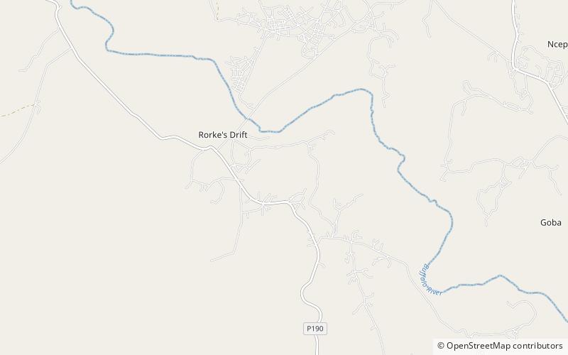
The Oscarberg, called by the Zulus Shiyane, is the name given by the Reverend Otto Witt to a large hill 350 yards to the southeast of the two buildings which formed the trading post at the Battle of Rorke's Drift. The post was established by the British in 1845, was sold to the Norwegian Missionary Society in 1878, and renamed by the Swedish missionary Witt "Oscarberg" after the reigning King Oscar II of the United Kingdoms of Sweden and Norway. ()
Coordinates: 28°21'30"S, 30°32'50"E
Location
KwaZulu-Natal
ContactAdd
Social media
Add
