Nagle Dam

Gallery (3)
Map
Map
Gallery
Facts and practical information
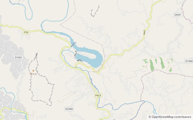
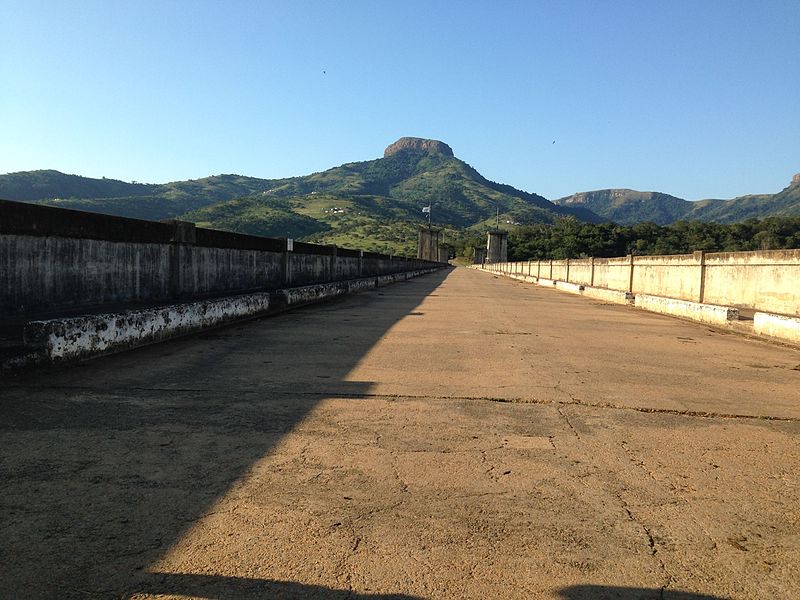
Nagle Dam is a mass concrete type dam located on the Mgeni River, near Cato Ridge, KwaZulu-Natal, South Africa.It was established in 1950 and serves mainly for municipal and industrial purposes. The hazard potential of the dam has been ranked high. ()
Local name: Nagledam Opened: 1950 (76 years ago)Length: 1289 ftHeight: 145 ftReservoir area: 0.6 mi²Coordinates: 29°35'40"S, 30°38'30"E
Location
KwaZulu-Natal
ContactAdd
Social media
Add