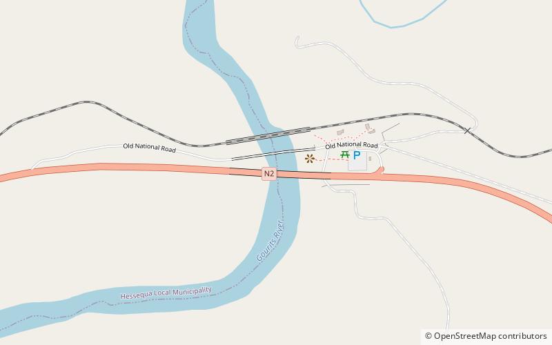
Gouritz River Bridge
Map

Map

Facts and practical information
The Gouritz River Bridge on the N2 route between Cape Town and Port Elizabeth is a rigid-frame bridge which crosses the Gouritz River 34 kilometres west of Mossel Bay in the Western Cape. ()
Local name: GouritsrivierbrugOpened: 1978 (48 years ago)Length: 886 ftWidth: 46 ftCoordinates: 34°11'10"S, 21°45'10"E
Location
Western Cape
ContactAdd
Social media
Add
