Treaty Tree, Cape Town
Map

Map

Facts and practical information
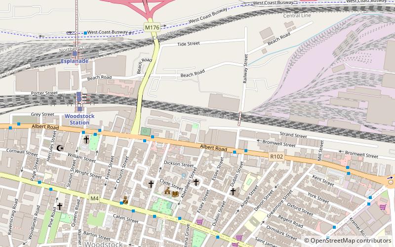
The Treaty Tree is a 500-year-old white milkwood tree on Treaty Road and south of the rail line in Woodstock, Cape Town, South Africa. Peace was made under the tree on 10 January 1806 after the Battle of Blaauwberg, thereby starting the second British occupation of the Cape and leading to the permanent establishment of the Cape Colony as a British possession. Until 1834 slaves were sold and convicts hanged under it. ()
Local name: VerdragboomSeeded: 1509Coordinates: 33°55'34"S, 18°27'5"E
Address
WoodstockCape Town
ContactAdd
Social media
Add
Day trips
Treaty Tree – popular in the area (distance from the attraction)
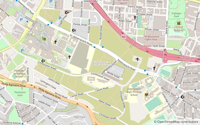
Nearby attractions include: Heart of Cape Town Museum, Artscape Theatre Centre, Cape Town Science Centre, Zonnebloem.
Frequently Asked Questions (FAQ)
How to get to Treaty Tree by public transport?
The nearest stations to Treaty Tree:
Train
Bus
Train
- Woodstock Station (8 min walk)
- Woodstock (8 min walk)
Bus
- Woodstock 2 • Lines: T01 (10 min walk)
- Lawley 1 • Lines: 102 (11 min walk)


