Wemmershoek Dam

Map
Facts and practical information
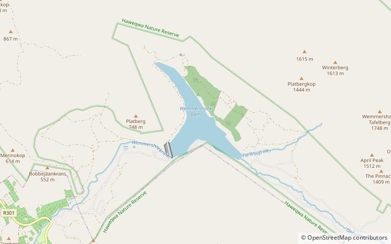
Wemmershoek Dam is an rock-fill type dam located on the Wemmershoek River near Franschhoek and Paarl in South Africa. It was constructed between 1953 and 1957 on behalf of the City of Cape Town. With a reservoir capacity of 58,644 megalitres, it provides approximately 6.5% of the storage capacity of the Western Cape Water Supply System which supplies Cape Town and surrounding areas. ()
Alternative names: Opened: 1957 (69 years ago)Length: 1699 ftHeight: 180 ftCoordinates: 33°49'29"S, 19°5'30"E
Location
Western Cape
ContactAdd
Social media
Add
Day trips
Wemmershoek Dam – popular in the area (distance from the attraction)
Nearby attractions include: Franschhoek Motor Museum, Cape Winelands Biosphere Reserve, Du Toits Peak, Berg River Dam.


