Westgate, Johannesburg
Facts and practical information
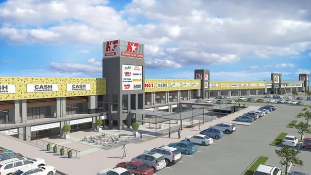
Westgate (address: 120 Ontdekkers Rd) is a place located in Johannesburg (Gauteng province) and belongs to the category of shopping, shopping centre.
It is situated at an altitude of 5758 feet, and its geographical coordinates are 26°8'6"S latitude and 27°51'30"E longitude.
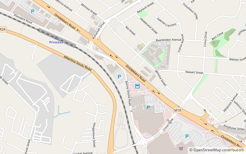
Planning a visit to this place, one can easily and conveniently get there by public transportation. Westgate is a short distance from the following public transport stations: Westgate Mall (bus, 2 min walk), Princess (train, 9 min walk).
Among other places and attractions worth visiting in the area are: Kloofendal Nature Reserve (park, 37 min walk), Walter Sisulu National Botanical Garden, Krugersdorp (botanical garden, 88 min walk), Monash South Africa (library, 95 min walk).
- Bus
- Train
 Bus
Bus
- Calculate routeWestgate Mall 2 min walk
- Calculate routePrincess 9 min walk
- Calculate routeHorison 22 min walk


Frequently Asked Questions (FAQ)
How to get to Westgate by public transport?
Bus
- Westgate Mall (2 min walk)
Train
- Princess (9 min walk)
- Horison (22 min walk)