Mthatha Dam

Map
Facts and practical information
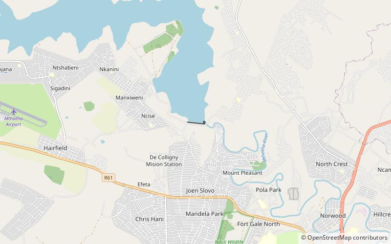
Mthatha Dam is an earth-fill type dam located on the Mthatha River, near Mthatha, Eastern Cape, South Africa. It was established in 1977 and serves mainly for municipal and industrial purposes. Its hazard potential has been ranked high. ()
Local name: MthathadamOpened: 1977 (49 years ago)Length: 2034 ftHeight: 125 ftReservoir area: 9.81 mi²Coordinates: 31°33'2"S, 28°44'24"E
Location
Eastern Cape
ContactAdd
Social media
Add
Day trips
Mthatha Dam – popular in the area (distance from the attraction)
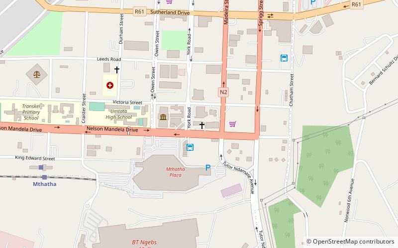
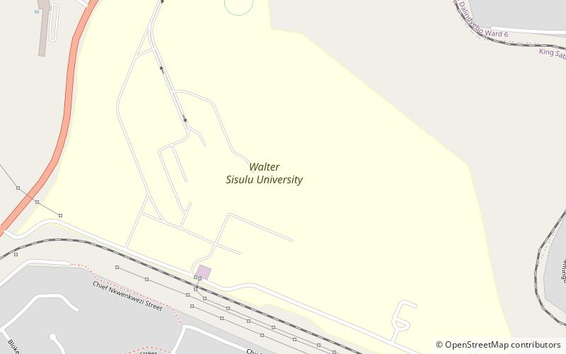
Nearby attractions include: St John's Cathedral, Walter Sisulu University.

