Magersfontein

Gallery (1)
Map
Map
Facts and practical information
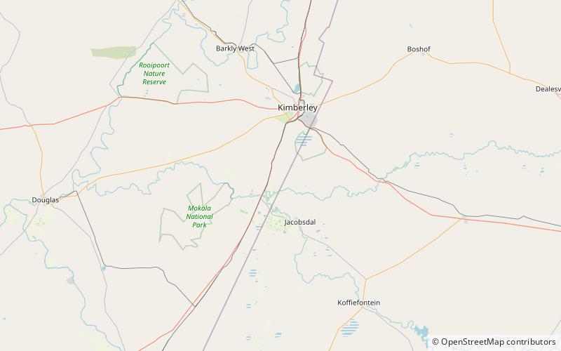
The Magersfontein battlefield is a site of the Battle of Magersfontein, part of the Second Boer War in South Africa. The battlefield is located at 28°58′23″S 24°41′53.76″E south of Kimberley, Northern Cape Province, South Africa and can be reached either via the airport road, or by national road via the Modder River. ()
Coordinates: 28°58'23"S, 24°41'54"E
Location
Northern Cape
ContactAdd
Social media
Add