Bloukrans Bridge, Garden Route National Park
Map

Gallery

Facts and practical information
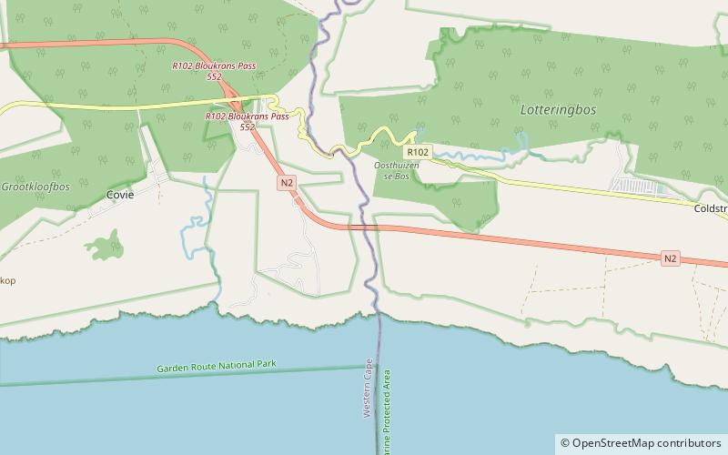
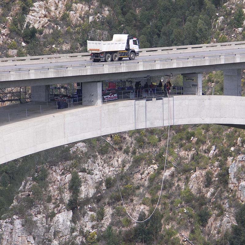
The Bloukrans Bridge is an arch bridge located near Nature's Valley, Western Cape, South Africa. Constructed by Concor between February 1980 and June 1983, the bridge stands at a height of 216m above the Bloukrans River. Its central span is 272m and the bridge is 451m in length in total. Its primary use is that of a road bridge, carrying national route N2. ()
Local name: Bloukransrivierbrug Opened: 10 June 1983 (42 years ago)Coordinates: 33°58'1"S, 23°38'43"E
Address
Garden Route National Park
ContactAdd
Social media
Add
Day trips
Bloukrans Bridge – popular in the area (distance from the attraction)
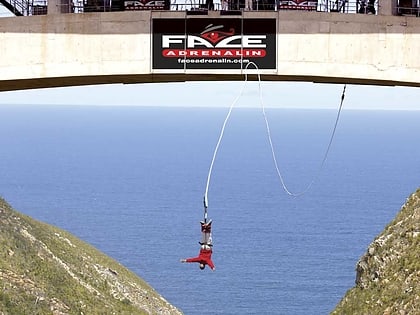
Nearby attractions include: Face Adrenalin, Otter Trail, Grootrivier Pass, Bloukrans Pass.


