Steenkampsberg

Gallery (1)
Map
Map
Facts and practical information
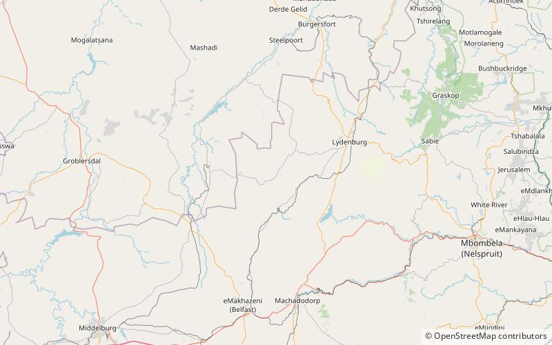
Steenkampsberg is a South African mountain in the Dullstroom - Belfast district of Mpumalanga Province. The mountain ranges between 1,700 and 2,274 metres in altitude, and is covered largely by high-altitude grassland, broken in places by rocky outcrops. The northern slope of the mountain is drained by the Groot-Dwarsrivier, which enters a deep linear valley, to eventually join the Steelpoort River. The mountain is traversed from west to east by the De Berg Pass. ()
Location
Mpumalanga
ContactAdd
Social media
Add