Vaal Dam
Map

Map

Facts and practical information
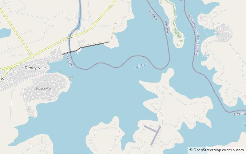
The Vaal Dam in South Africa was constructed in 1938 and lies 77 km south of OR Tambo International Airport. The lake behind the dam wall has a surface area of about 320 square kilometres and is 47 meters deep. The Vaal Dam lies on the Vaal River, which is one of South Africa's strongest-flowing rivers. Other rivers flowing into the dam are the Wilge River, Klip River, Molspruit and Grootspruit. It has over 800 kilometres of shoreline and is South Africa's second biggest dam by area and the fourth largest by volume. ()
Local name: Vaaldam Opened: 1938 (88 years ago)Height: 178 ftReservoir area: 123.55 mi²Elevation: 4875 ft a.s.l.Coordinates: 26°53'41"S, 28°8'44"E
Location
Free State
ContactAdd
Social media
Add
Day trips
Vaal Dam – popular in the area (distance from the attraction)
Nearby attractions include: Anchor Creek Marina.

