Sol Plaatje Dam
Map

Map

Facts and practical information
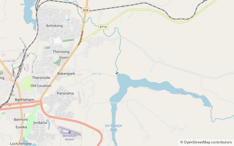
Sol Plaatje Dam is an earth-fill type dam located at the confluence of the As and Liebenbergsvlei Rivers near Bethlehem, Free State, South Africa. It was established in 1968 and serves mainly for municipal and domestic water supply. The hazard potential of the dam has been ranked high. The reservoir receives water from the Lesotho Highlands Water Project via the As River. ()
Opened: 1968 (58 years ago)Length: 230 ftHeight: 62 ftReservoir area: 1.37 mi²Coordinates: 28°13'1"S, 28°21'47"E
Location
Free State
ContactAdd
Social media
Add
Day trips
Sol Plaatje Dam – popular in the area (distance from the attraction)
Nearby attractions include: Goble Park.

