Disa Park, Cape Town
Map

Gallery
Facts and practical information
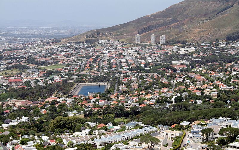
Disa Park is one of the best-known pieces of architecture in the Vredehoek area of Cape Town, South Africa. ()
Elevation: 551 ft a.s.l.Coordinates: 33°56'32"S, 18°25'35"E
Address
Clifford AveVredehoekCape Town
ContactAdd
Social media
Add
Day trips
Disa Park – popular in the area (distance from the attraction)
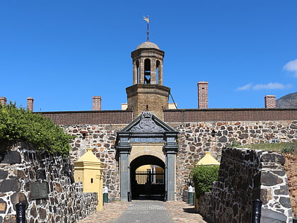
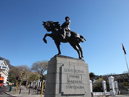
Nearby attractions include: Castle Military Museum, Castle of Good Hope, Statues of Louis Botha, Labia Theatre.
Frequently Asked Questions (FAQ)
Which popular attractions are close to Disa Park?
Nearby attractions include Statue of Maria van Riebeeck, Cape Town (13 min walk), City Bowl (22 min walk), Zonnebloem, Cape Town (22 min walk), Molteno Dam, Cape Town (23 min walk).
How to get to Disa Park by public transport?
The nearest stations to Disa Park:
Bus
Train
Bus
- Wexford • Lines: 101 (3 min walk)
- Exner • Lines: 101 (6 min walk)
Train
- Woodstock Station (42 min walk)
- Woodstock (42 min walk)

