Langeberg
Map

Map

Facts and practical information
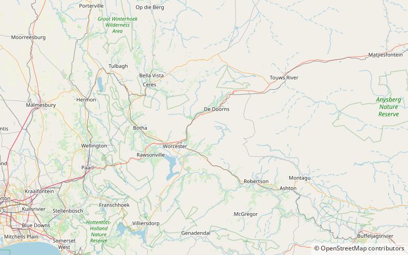
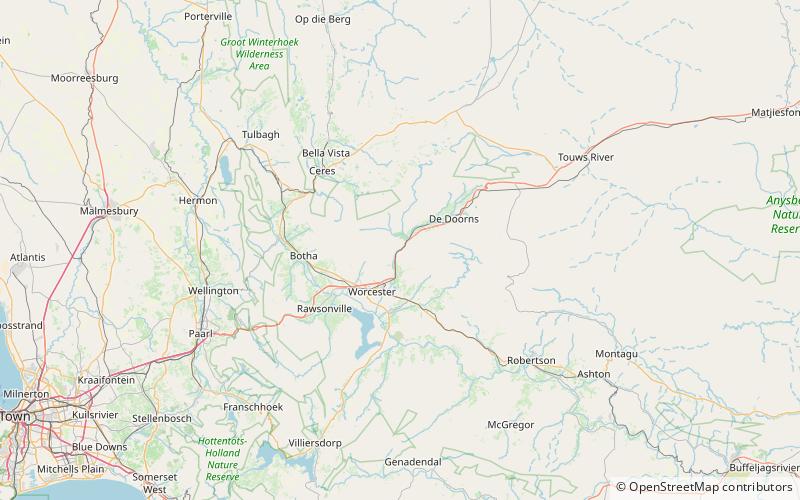
The Langeberg Range is a mountain range in the Western Cape province of South Africa. Its highest peak is Keeromsberg at 2,075 m that lies 15 km northeast of the town of Worcester. Some of the highest peaks of the range are located just to the north of Swellendam, in a subrange known as the Clock Peaks whose highest point is the 1,710 m high Misty Point. Local lore states one can tell the time by means of the shadows cast by the seven summits of the Clock Peaks. ()
Location
Western Cape
ContactAdd
Social media
Add
Day trips
Langeberg – popular in the area (distance from the attraction)
Nearby attractions include: Hex River Poort Pass.

