Van Stadens Pass

Gallery (1)
Map
Map
Facts and practical information
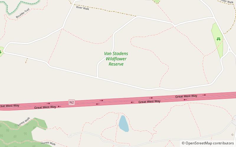
Van Stadens Pass, is situated in the Eastern Cape, province of South Africa, on the national road N2, between Port Elizabeth and Humansdorp. It is a passage through the gorge of the Van Stadens River. ()
Coordinates: 33°54'31"S, 25°12'37"E
Location
Eastern Cape
ContactAdd
Social media
Add
Day trips
Van Stadens Pass – popular in the area (distance from the attraction)
Nearby attractions include: Van Stadens Bridge.
