Boekenhoutfontein

Gallery (1)
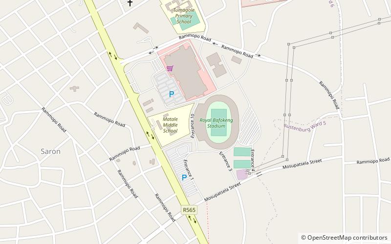
Map
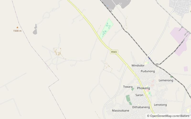
Map
Facts and practical information
Boekenhoutfontein was the farm of Paul Kruger, a 19th-century Boer resistance leader and president of the Transvaal Republic. It is located in Rustenburg, North West Province, South Africa. ()
Coordinates: 25°33'25"S, 27°7'19"E
Location
North West
ContactAdd
Social media
Add
Day trips