Highveld, Johannesburg
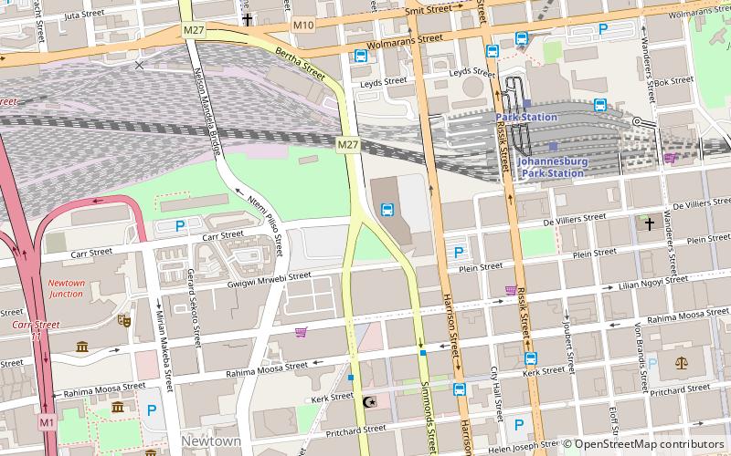
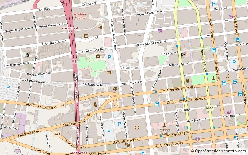
Map
Map

Facts and practical information
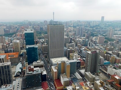
The Highveld is the portion of the South African inland plateau which has an altitude above roughly 1500 m, but below 2100 m, thus excluding the Lesotho mountain regions to the south-east of the Highveld. It is home to some of the country's most important commercial farming areas, as well as its largest concentration of metropolitan centres, especially the Gauteng conurbation, which accommodates one-third of South Africa's population. ()
Address
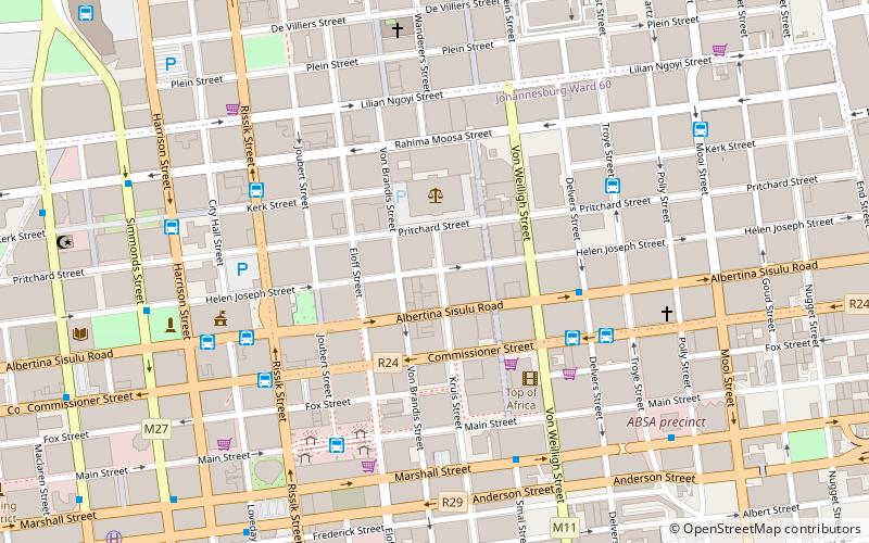
Johannesburg Inner City (Downtown Johannesburg)Johannesburg
ContactAdd
Social media
Add
Day trips
Highveld – popular in the area (distance from the attraction)
Nearby attractions include: Carlton Centre, Ellis Park Stadium, Market Theatre, Fire Walker.
Frequently Asked Questions (FAQ)
Which popular attractions are close to Highveld?
Nearby attractions include Witwatersrand, Johannesburg (4 min walk), Marble Towers, Johannesburg (5 min walk), Carlton Centre, Johannesburg (6 min walk), Statue of Mahatma Gandhi, Johannesburg (7 min walk).
How to get to Highveld by public transport?
The nearest stations to Highveld:
Bus
Train
Bus
- Carlton Bus Station • Lines: C1, T1 (6 min walk)
- Library Gardens Bus Station • Lines: T1, T2, T3 (6 min walk)
Train
- Johannesburg Park Station (12 min walk)
- Faraday (15 min walk)

