Hanglip
Map

Map

Facts and practical information
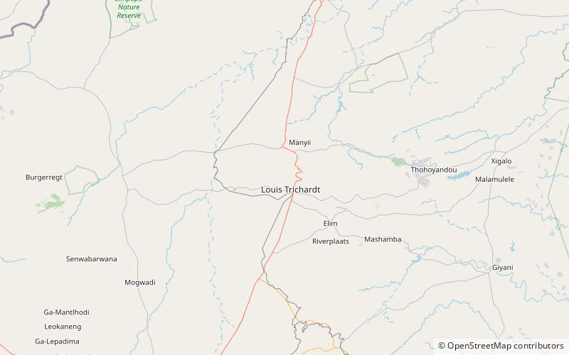
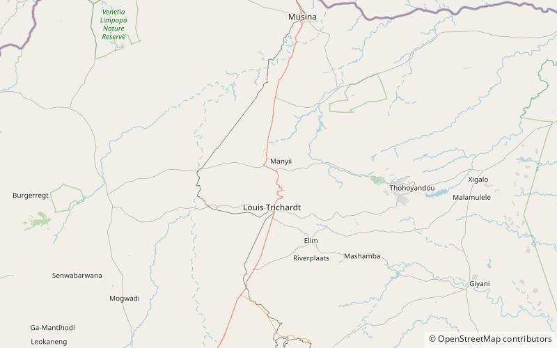
Hanglip, thavha ya VhaDzanani is a prominent mountain peak near Louis Trichardt, South Africa. It is situated in the Vhembe District of Limpopo in the central Soutpansberg range. The peak with radar station, at 1,719 meters a.s.l. forms a conspicuous landmark visible from the town and the N1 national road. ()
Elevation: 5640 ftCoordinates: 22°59'45"S, 29°52'60"E
Location
Limpopo
ContactAdd
Social media
Add
Day trips
Hanglip – popular in the area (distance from the attraction)
Nearby attractions include: Soutpansberg, Louis Trichardt, Wyllie's Poort.


