Huguenot Memorial Building, Cape Town
Map
Map

Facts and practical information
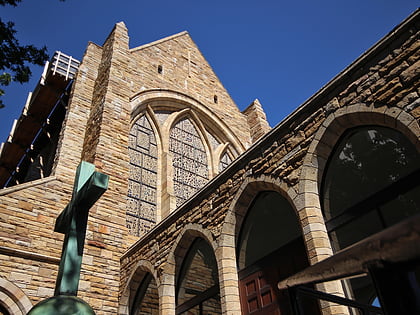
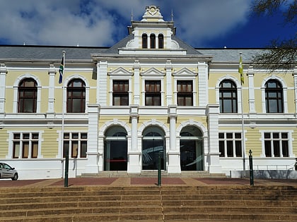
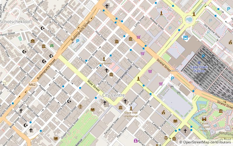
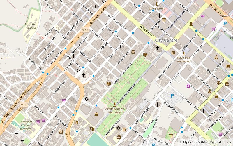
The Huguenot Memorial Building, located at 48 Queen Victoria Street, Cape Town, is a provincial heritage site in Cape Town in the Western Cape province of South Africa. ()
Coordinates: 33°55'35"S, 18°24'59"E
Address
Cape Town CBD - ForeshoreCape Town
ContactAdd
Social media
Add
Day trips
Huguenot Memorial Building – popular in the area (distance from the attraction)
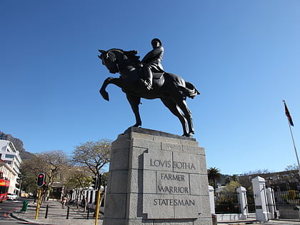
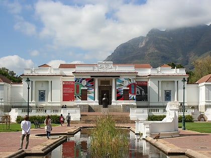
Nearby attractions include: St. George's Cathedral, Statues of Louis Botha, Labia Theatre, Iziko South African National Gallery.
Frequently Asked Questions (FAQ)
Which popular attractions are close to Huguenot Memorial Building?
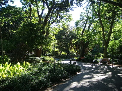
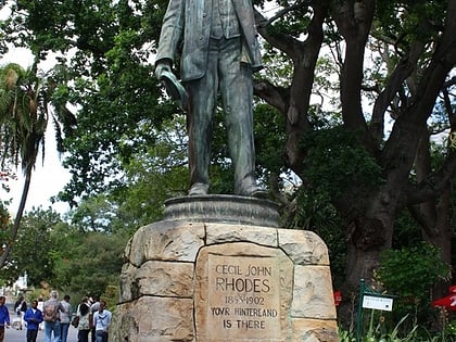
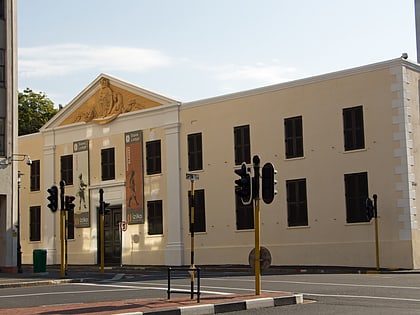
Nearby attractions include Centre for the Book, Cape Town (2 min walk), Cecil John Rhodes Statue, Cape Town (2 min walk), Company's Garden, Cape Town (2 min walk), Gallery Mau Mau, Cape Town (3 min walk).
How to get to Huguenot Memorial Building by public transport?
The nearest stations to Huguenot Memorial Building:
Bus
Train
Bus
- Upper Long • Lines: 101 (3 min walk)
- South African Museum • Lines: Red Line (5 min walk)
Train
- Cape Town (17 min walk)

