Florida, Johannesburg
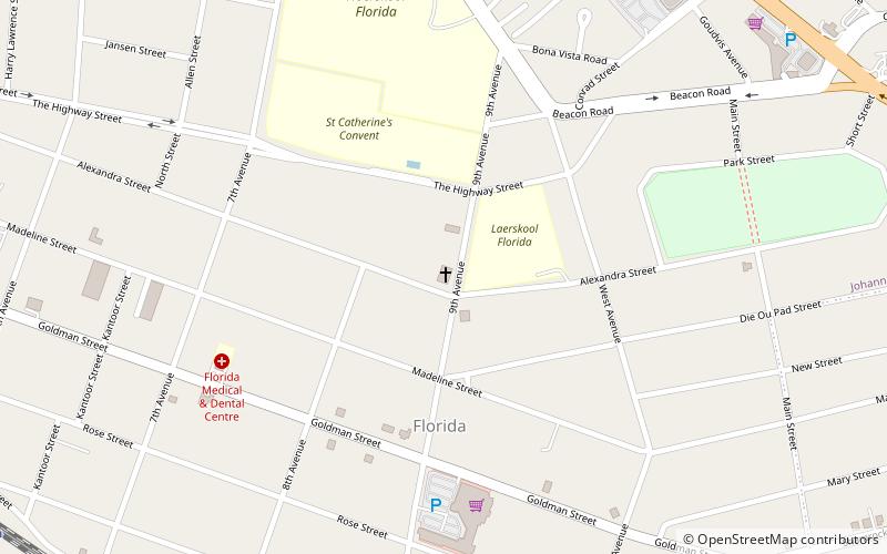
Map
Facts and practical information
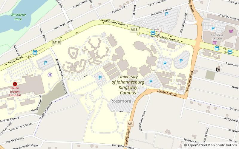
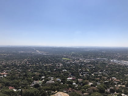
Florida is a location in Gauteng province, South Africa. It is located about 16 kilometres west of Johannesburg. The area which is referred to as Florida was originally established as the farm Vogelstruisfontein. Today, it is a suburb of Roodepoort. ()
Local name: Florida, Johannesburg Established: 1890 (136 years ago)Area: 2.44 mi²Coordinates: 26°10'22"S, 27°55'24"E
Address
88 Alexandra StJohannesburg
ContactAdd
Social media
Add
Day trips
Florida – popular in the area (distance from the attraction)
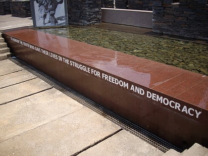
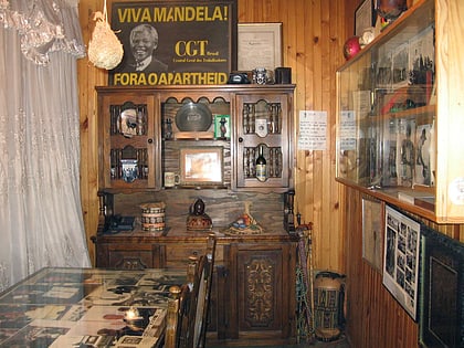
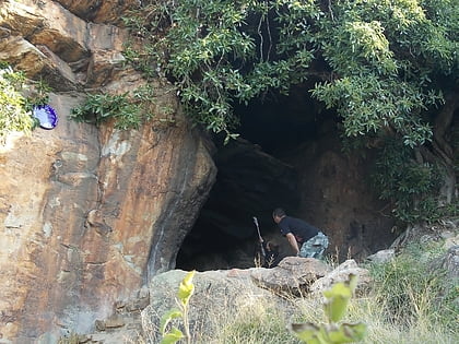
Nearby attractions include: Cresta Shopping Centre, Hector Pieterson Museum, Mandela House, Melville Koppies.
Frequently Asked Questions (FAQ)
How to get to Florida by public transport?
The nearest stations to Florida:
Train
Train
- Unified (13 min walk)
- Florida (16 min walk)

