Killarney, Johannesburg
Map
Map

Facts and practical information
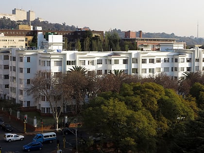
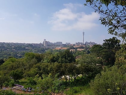
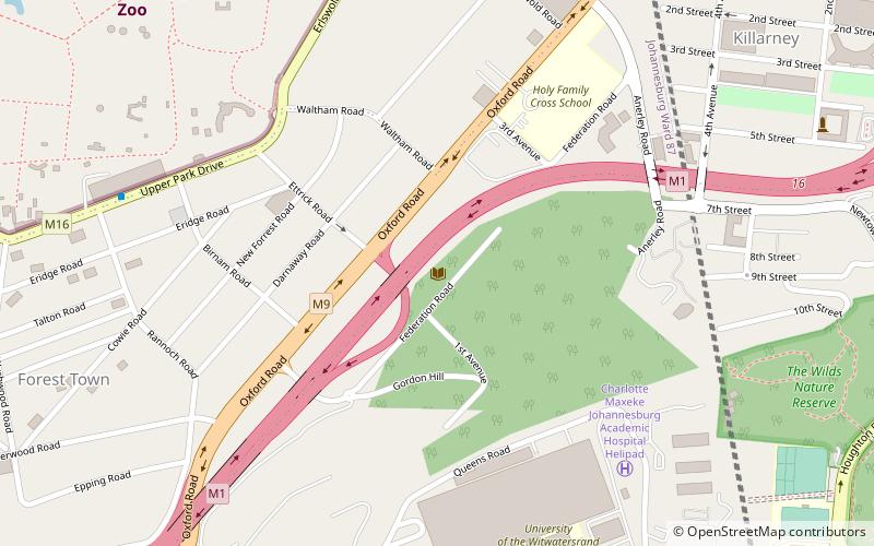
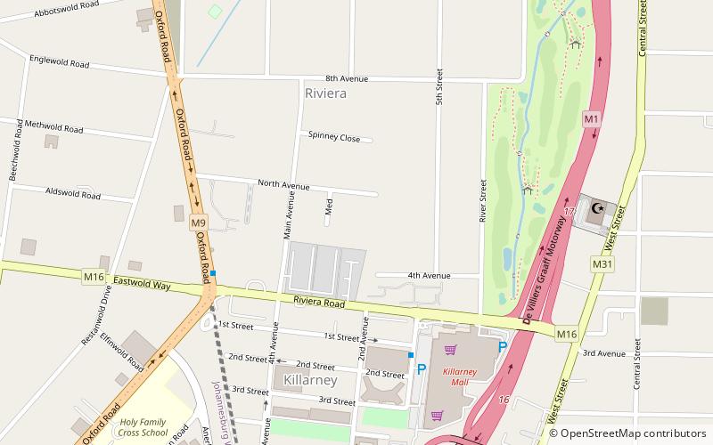
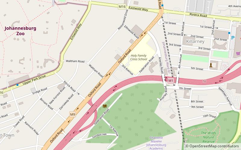
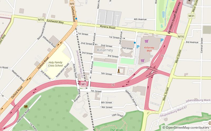
Killarney is a suburb of Johannesburg, South Africa. A relatively wealthy area, located west of the M1 freeway, Killarney is a densely built-up area, and it has numerous apartment blocks, as well as a large shopping mall, Killarney Mall. ()
Local name: Killarney, JohannesburgEstablished: 1907 (119 years ago)Elevation: 5587 ft a.s.l.Coordinates: 26°10'4"S, 28°3'2"E
Address
Johannesburg Inner City (Killarney)Johannesburg
ContactAdd
Social media
Add
Day trips
Killarney – popular in the area (distance from the attraction)
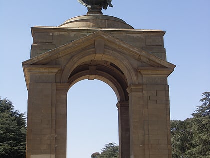
Nearby attractions include: Johannesburg Zoo, South African National Museum of Military History, Anglo-Boer War Memorial, The Wilds.
Frequently Asked Questions (FAQ)
Which popular attractions are close to Killarney?
Nearby attractions include Oxford Shul (9 min walk), Beit Emanuel Progressive Synagogue, Johannesburg (9 min walk), Brenthurst Gardens, Johannesburg (12 min walk), The Wilds, Johannesburg (13 min walk).
How to get to Killarney by public transport?
The nearest stations to Killarney:
Bus
Bus
- J1-7 • Lines: J1 (21 min walk)
- Bus Station (23 min walk)
