Rand Stadium, Johannesburg
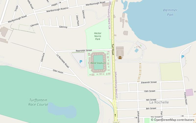
Map
Facts and practical information
The Rand Stadium is a stadium in Rosettenville, a suburb of Johannesburg, South Africa. It was set to be utilized as a training field for teams participating in the 2010 FIFA World Cup after being completely rebuilt and reopened in August 2008. Despite the relatively small capacity, it is regarded as one of the best playing surfaces in the country. ()
Local name: Randse stadionOpened: 1951 (75 years ago)Capacity: 30 thous.Coordinates: 26°14'5"S, 28°3'6"E
Address
Johannesburg Inner City (Glenesk)Johannesburg
ContactAdd
Social media
Add
Day trips
Rand Stadium – popular in the area (distance from the attraction)
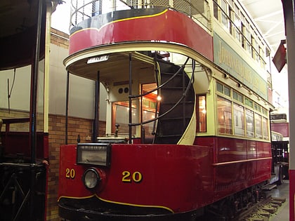
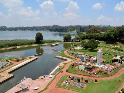
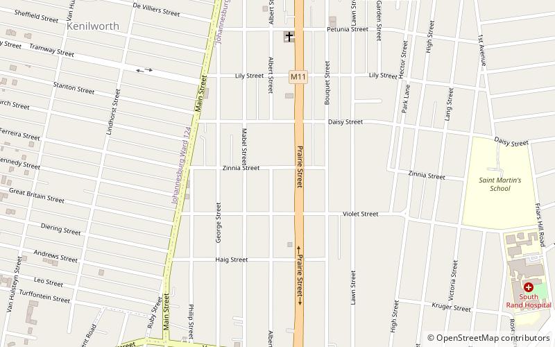
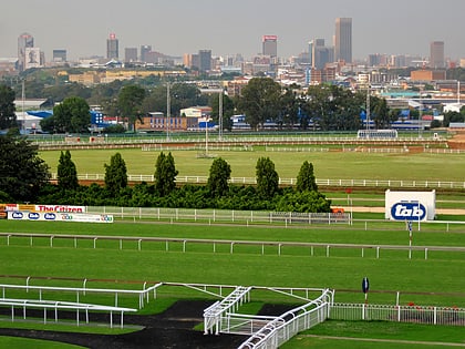
Nearby attractions include: James Hall Transport Museum, Santarama Miniland, St. Mary's Anglican Church, Turffontein Racecourse.
Frequently Asked Questions (FAQ)
Which popular attractions are close to Rand Stadium?
Nearby attractions include James Hall Transport Museum, Johannesburg (4 min walk), Santarama Miniland, Johannesburg (10 min walk).
How to get to Rand Stadium by public transport?
The nearest stations to Rand Stadium:
Train
Train
- Booysens (25 min walk)
- Village Main (30 min walk)
