Parkmore, Johannesburg
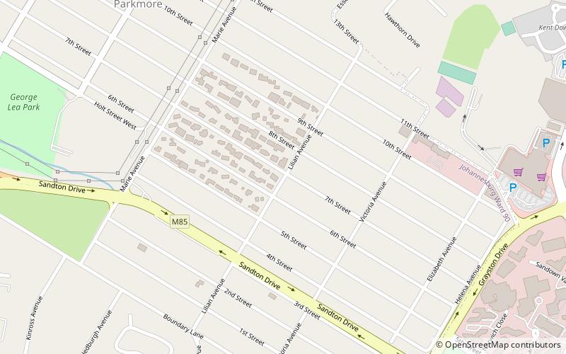
Map
Facts and practical information
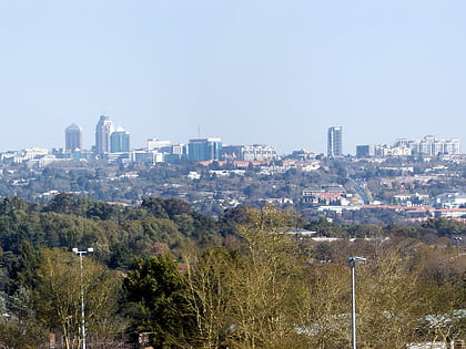
Parkmore is a suburb of Johannesburg, South Africa. It is located in Region B of the City of Johannesburg Metropolitan Municipality. ()
Established: 1907 (119 years ago)Coordinates: 26°6'0"S, 28°2'31"E
Day trips
Parkmore – popular in the area (distance from the attraction)
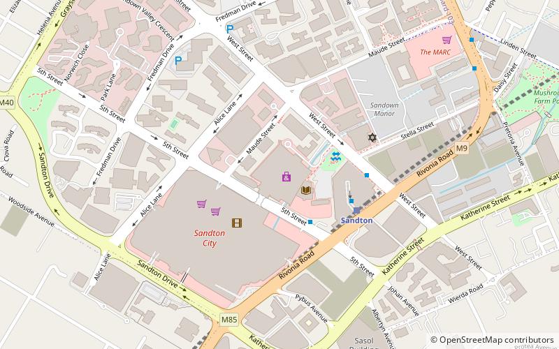
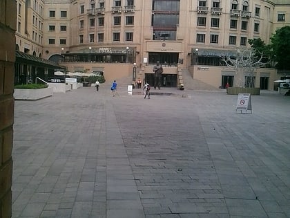
Nearby attractions include: Sandton City, Sandton, Statue of Nelson Mandela, Nelson Mandela Square.
Frequently Asked Questions (FAQ)
How to get to Parkmore by public transport?
The nearest stations to Parkmore:
Bus
Train
Bus
- Gautrain Sandton Bus Terminus • Lines: S3 (28 min walk)
- Sandton Gautrain • Lines: TransMagnific (28 min walk)
Train
- Sandton (28 min walk)
