Langkloof

Gallery (2)
Map

Map
Gallery
Facts and practical information
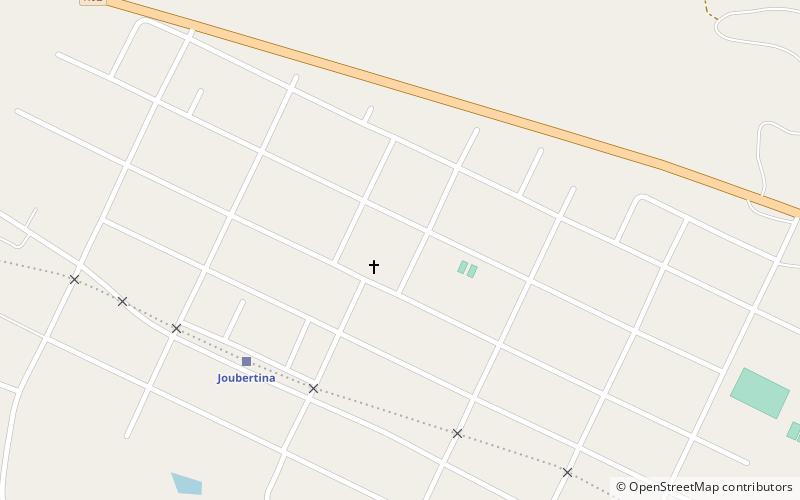
The Langkloof is a 160 km long valley in South Africa, lying between Herold, a small village northeast of George, and The Heights - just beyond Twee Riviere. ()
Location
Eastern Cape
ContactAdd
Social media
Add