Ceres Koekedouw Dam

Map
Facts and practical information
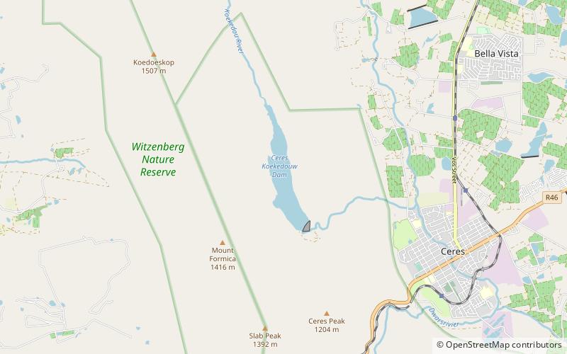
Ceres Koekedouw Dam is a rockfill type dam on the Koekedouw River, near Ceres, Western Cape, South Africa. Its primary purpose is for irrigation. ()
Local name: KoekedouwdamLength: 902 ftHeight: 210 ftCoordinates: 33°21'12"S, 19°16'6"E
Location
Western Cape
ContactAdd
Social media
Add
Day trips
Ceres Koekedouw Dam – popular in the area (distance from the attraction)
Nearby attractions include: Ceres Golf Estate, Michell's Pass.

