Newtown, Johannesburg
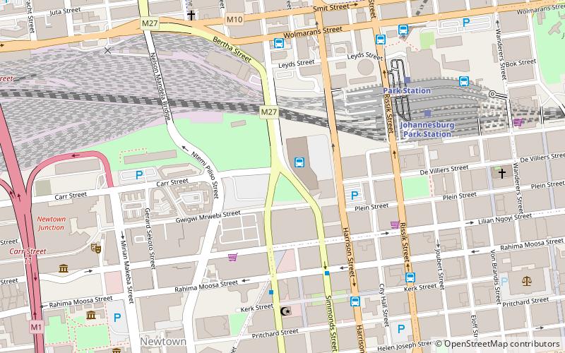
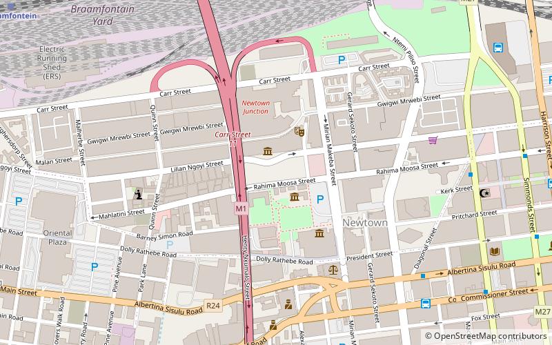
Map

Map

Facts and practical information
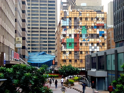
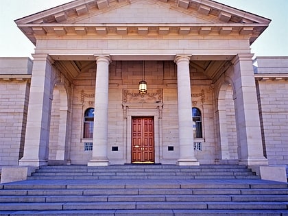
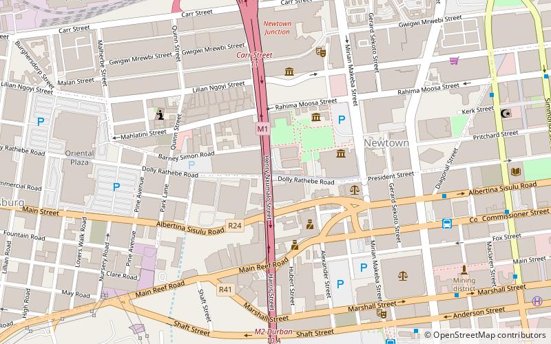
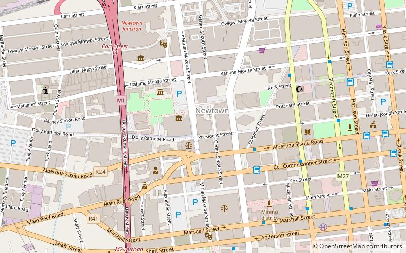
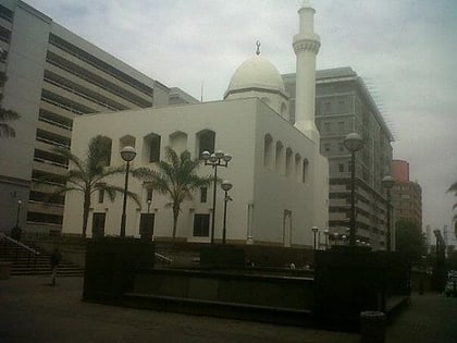
Newtown is a suburb of Johannesburg, South Africa. It is located in the capital city of Gauteng Province and the Region F of the City of Johannesburg Metropolitan Municipality, and has the coordinates of 26.204°S and 28.034°E. The town originated as a manufacturing district for brick production and contained a "racially mixed working class". ()
Local name: Newtown, JohannesburgArea: 210.04 acres (0.3282 mi²)Coordinates: 26°12'14"S, 28°2'2"E
Day trips
Newtown – popular in the area (distance from the attraction)
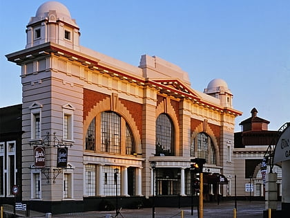
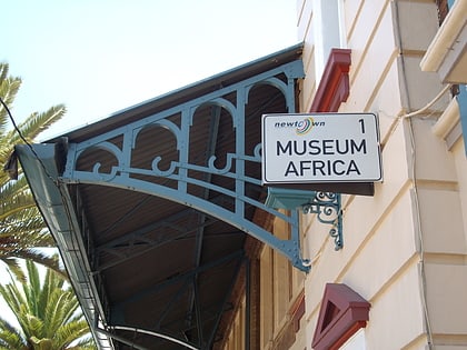
Nearby attractions include: Carlton Centre, Market Theatre, MuseuMAfricA, Fire Walker.
Frequently Asked Questions (FAQ)
Which popular attractions are close to Newtown?
Nearby attractions include SAB World of Beer, Johannesburg (1 min walk), St Aidan's Anglican Church, Johannesburg (3 min walk), Manners Mansions, Johannesburg (4 min walk), Chancellor House Building, Johannesburg (5 min walk).
How to get to Newtown by public transport?
The nearest stations to Newtown:
Bus
Train
Bus
- Chancellor House • Lines: C1, T1, T2 (5 min walk)
- Chancellor House Bus Station (5 min walk)
Train
- Westgate (14 min walk)
- Johannesburg Park Station (18 min walk)

