Laing's Nek
Map

Map

Facts and practical information
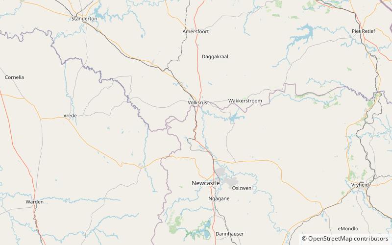
Laing's Nek, or Lang's Nek is a pass through the Drakensberg mountain range, South Africa, immediately north of Majuba, at 27°27′39″S 29°52′10″E at an elevation of 5400 to 6,000 ft. It is the lowest part of a ridge which slopes from Majuba to the Buffalo River, and before the opening of the railway in 1891 the road over the nek was the main artery of communication between Durban and Pretoria. The railway crosses the pass via a 2,213 ft. long tunnel. ()
Coordinates: 27°27'39"S, 29°52'10"E
Location
KwaZulu-Natal
ContactAdd
Social media
Add
