Port Edward

Gallery (1)
Map
Map
Facts and practical information
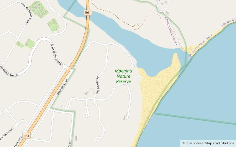
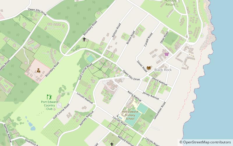
Port Edward is a small resort town situated on the south coast of KwaZulu-Natal in South Africa. It lies north of the Mtanvuma Gorge which includes the Mtamvuma River and is the border between KwaZulu-Natal and the Eastern Cape. It is situated on the R61 road between Port Shepstone and Lusikisiki. ()
Area: 9.34 mi²Coordinates: 31°3'8"S, 30°13'24"E
Location
KwaZulu-Natal
ContactAdd
Social media
Add
Day trips