Beyers Naudé Drive, Johannesburg
Map
Facts and practical information
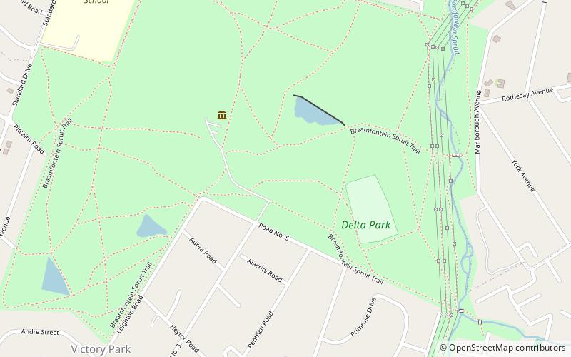
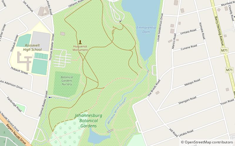
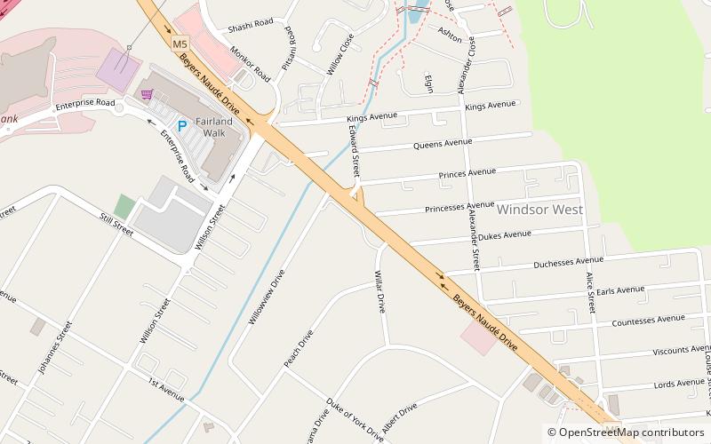
Beyers Naudé Drive is a large arterial route in Johannesburg, South Africa. It starts at the University of Johannesburg in Auckland Park, travelling through Melville, Roosevelt Park, Northcliff, Blackheath and traversing the N1 Western Bypass at Randpark Ridge. It terminates at the N14 freeway near Muldersdrift. It was previously known as DF Malan Drive. It forms part of Johannesburg's M5 road. ()
Coordinates: 26°7'18"S, 27°57'37"E
Address
Johannesburg
ContactAdd
Social media
Add
Day trips
Beyers Naudé Drive – popular in the area (distance from the attraction)
Nearby attractions include: Cresta Shopping Centre, Hyde Park Corner Shopping Centre, Melville Koppies, Randpark Golf Club.


