Port of Port Elizabeth, Port Elizabeth

Map
Facts and practical information
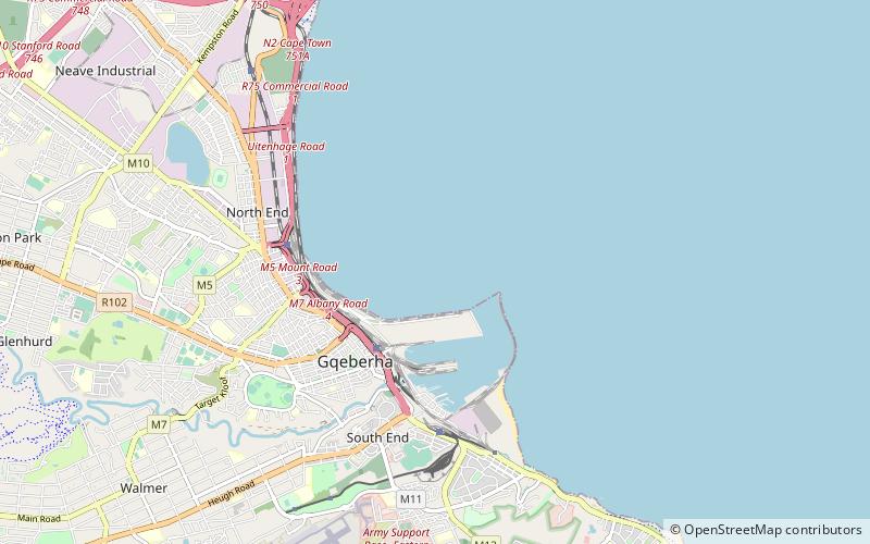
The Port of Port Elizabeth is a port in the city of Port Elizabeth, in the Eastern Cape, South Africa. Located in Algoa Bay, it handles dry bulk, bulk liquid, breakbulk and containers, as well as providing facilities for tugs and fishing vessels. ()
Coordinates: 33°57'0"S, 25°37'60"E
Address
Port Elizabeth
ContactAdd
Social media
Add
Day trips
Port of Port Elizabeth – popular in the area (distance from the attraction)
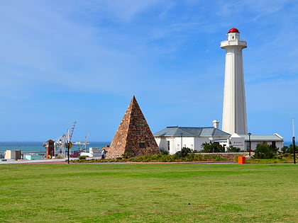
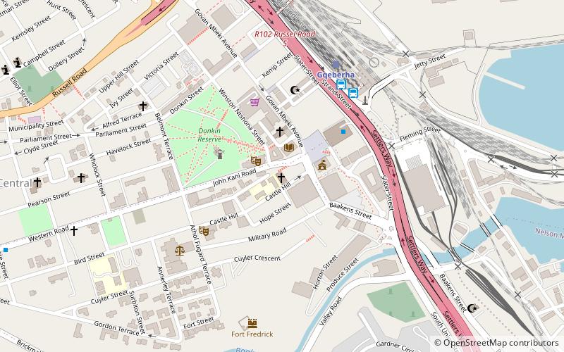
Nearby attractions include: Donkin, St. Augustine's Cathedral, Fort Frederick, Wezandla African Arts and Crafts Gallery.
Frequently Asked Questions (FAQ)
How to get to Port of Port Elizabeth by public transport?
The nearest stations to Port of Port Elizabeth:
Train
Bus
Train
- Gqeberha (23 min walk)
Bus
- Intercity Bus Station (23 min walk)
- Translux City to city (23 min walk)


