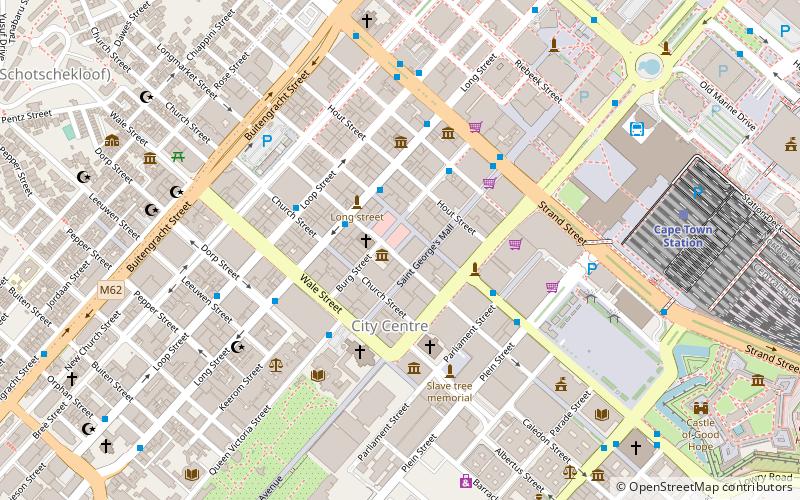
Stalplein
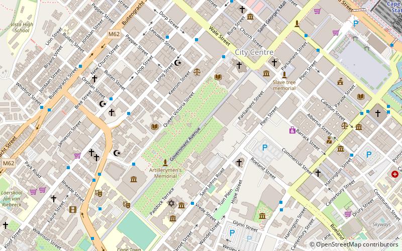
Map
Facts and practical information
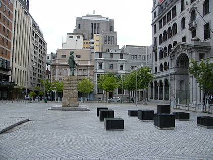
Stalplein lies at the point where Plein, Roeland, and St. John's Streets meet in Cape Town, South Africa. Plein and Parliament Streets run southwest to Stalplein. The greater part of the square is no longer publicly accessible, since it is now confined within the grounds of the Houses of Parliament. ()
Coordinates: 33°55'37"S, 18°25'4"E
Location
Western Cape
ContactAdd
Social media
Add
Day trips
Stalplein – popular in the area (distance from the attraction)
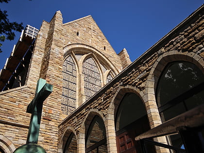
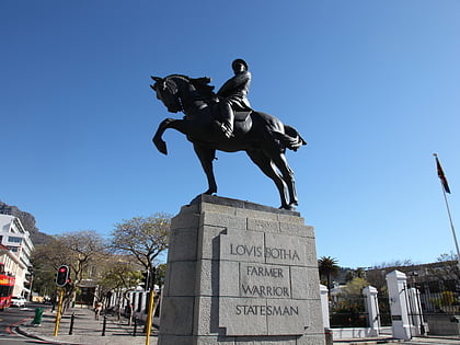
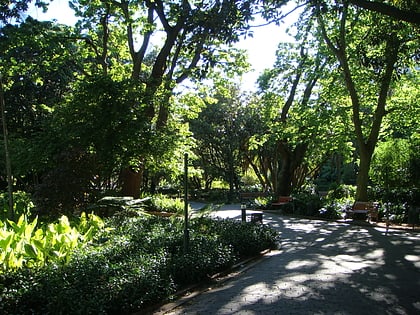
Nearby attractions include: St. George's Cathedral, Statues of Louis Botha, Iziko South African National Gallery, Company's Garden.
