Nurul Islam Mosque, Cape Town
Map
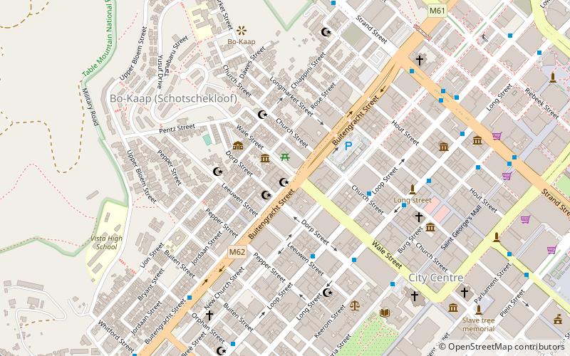
Map

Facts and practical information
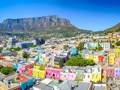
The Nurul Islam Mosque is a mosque in the Bo-Kaap area of Cape Town, South Africa. When it was founded in 1844, the structure could hold 150 worshipers. Renovated in 2001, it can now hold 700 worshipers. ()
Established: 1844 (182 years ago)Coordinates: 33°55'19"S, 18°24'56"E
Address
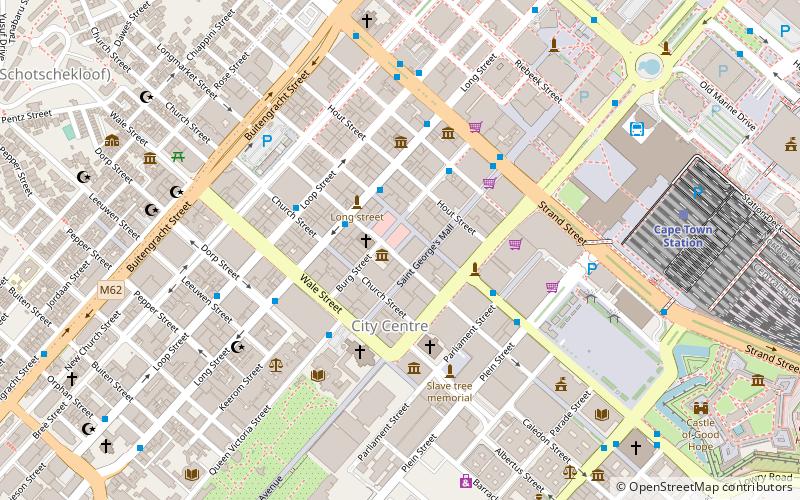
134 Buitengracht StreetSchotsche KloofCape Town
ContactAdd
Social media
Add
Day trips
Nurul Islam Mosque – popular in the area (distance from the attraction)
Nearby attractions include: Long Street, Adderley Street, Bo-Kaap, St. George's Cathedral.
Frequently Asked Questions (FAQ)
Which popular attractions are close to Nurul Islam Mosque?
Nearby attractions include Auwal Mosque, Cape Town (2 min walk), Bo- Kaap, Cape Town (3 min walk), Bo-Kaap, Cape Town (3 min walk), The Cape Gallery, Cape Town (5 min walk).
How to get to Nurul Islam Mosque by public transport?
The nearest stations to Nurul Islam Mosque:
Bus
Train
Bus
- Leeuwen • Lines: 101 (4 min walk)
- Church • Lines: 101 (4 min walk)
Train
- Cape Town (16 min walk)


