Observatory, Cape Town
Map
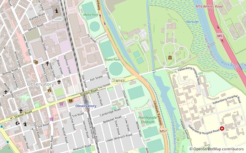
Map

Facts and practical information
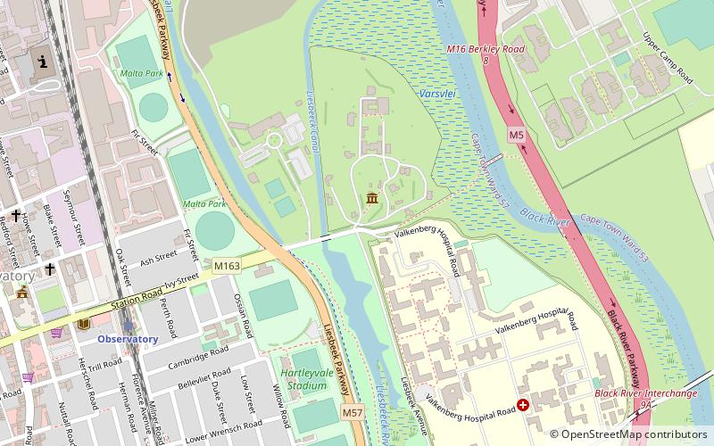
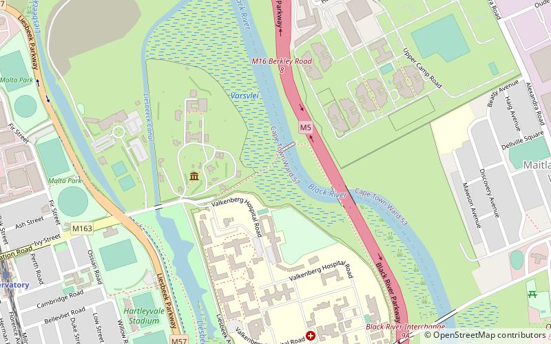
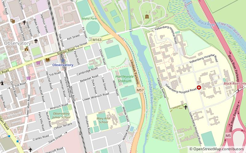
Observatory is a suburb in Cape Town, South Africa that is bordered by Mowbray to the south, and Salt River to the northwest. Colloquially known as Obs, the area is best known as a student neighbourhood, home to students, faculty and other staff associated with the University of Cape Town nearby. It is also the home of the South African Astronomical Observatory headquarters as well as Groote Schuur Hospital. ()
Address
ObservatoryCape Town
ContactAdd
Social media
Add
Day trips
Observatory – popular in the area (distance from the attraction)
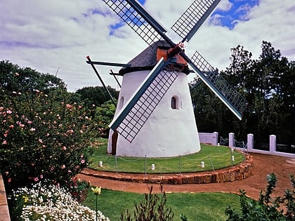
Nearby attractions include: Rhodes Memorial, Heart of Cape Town Museum, Cape Town Science Centre, Mostert's Mill.
Frequently Asked Questions (FAQ)
Which popular attractions are close to Observatory?
Nearby attractions include SAAO Library, Cape Town (5 min walk), South African Astronomical Observatory, Cape Town (7 min walk), Royal Observatory, Cape Town (7 min walk), Raapenberg Bird Sanctuary, Cape Town (9 min walk).
How to get to Observatory by public transport?
The nearest stations to Observatory:
Train
Bus
Train
- Observatory (5 min walk)
- Mowbray (18 min walk)
Bus
- St Peters Square Residence • Lines: Ct1 (16 min walk)
- Spencer 1 • Lines: 102 (19 min walk)


