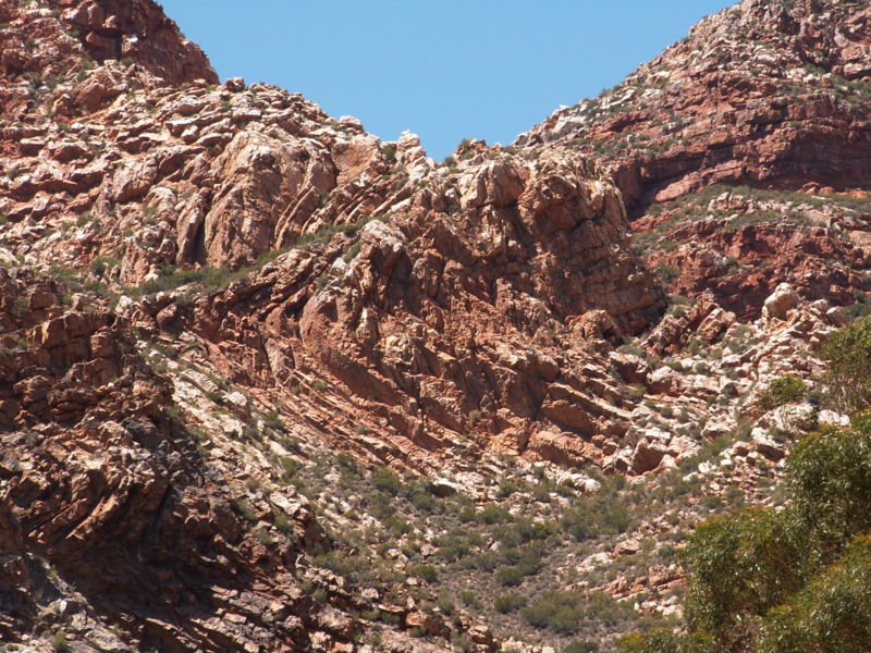
Swartberg, Cape Floristic Region
Map
Gallery

Facts and practical information
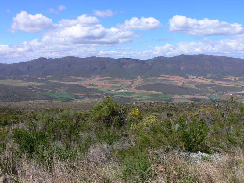
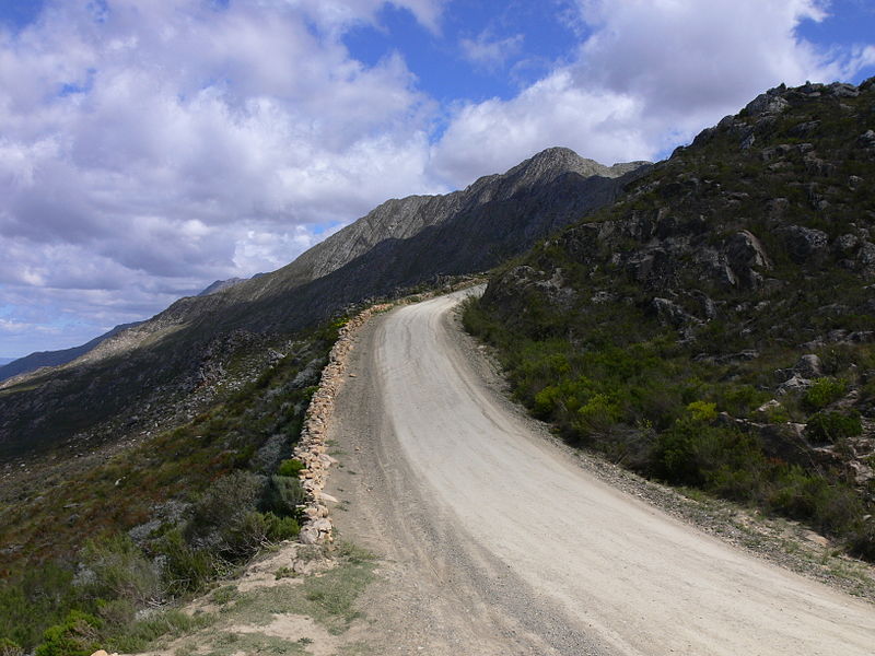
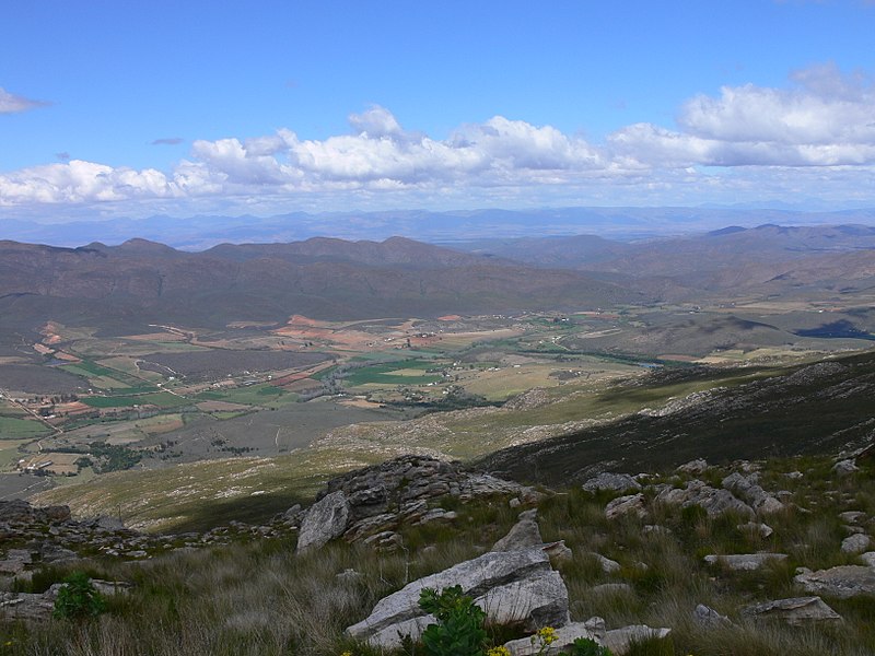
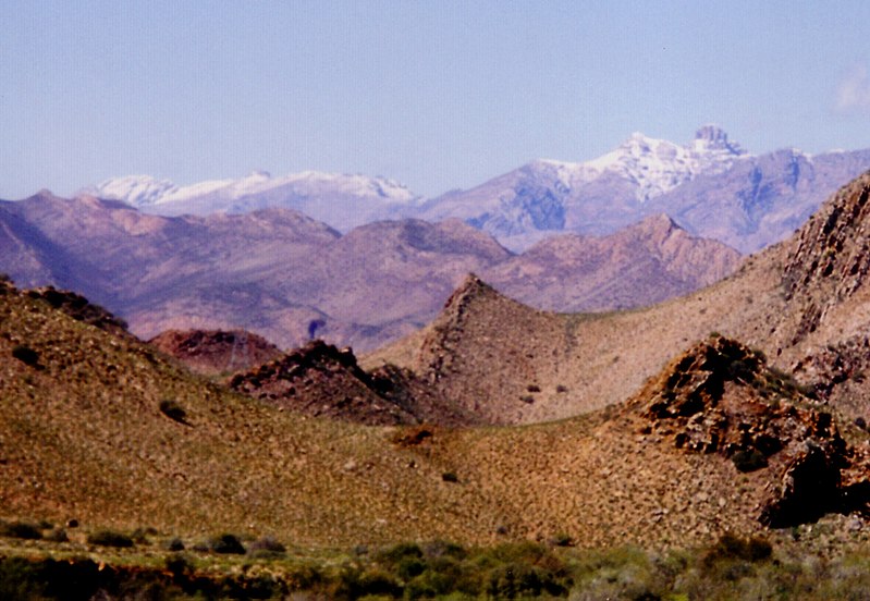
The Swartberg mountains are a mountain range in the Western Cape province of South Africa. It is composed of two main mountain chains running roughly east–west along the northern edge of the semi-arid Little Karoo. To the north of the range lies the other large semi-arid area in South Africa, the Great Karoo. Most of the Swartberg Mountains are above 2000 m high, making them the tallest mountains in the Western Cape. It is also one of the longest, spanning some 230 km from south of Laingsburg in the west to between Willowmore and Uniondale in the east. Geologically, these mountains are part of the Cape Fold Belt. ()
Alternative names: Unesco: from 2004Area: 432.43 mi²Maximum elevation: 229659 ftElevation: 7628 ftCoordinates: 33°22'0"S, 22°21'15"E
Address
Cape Floristic Region
ContactAdd
Social media
Add


