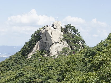
Suraksan, Seoul
#253 among attractions in Seoul

Facts and practical information
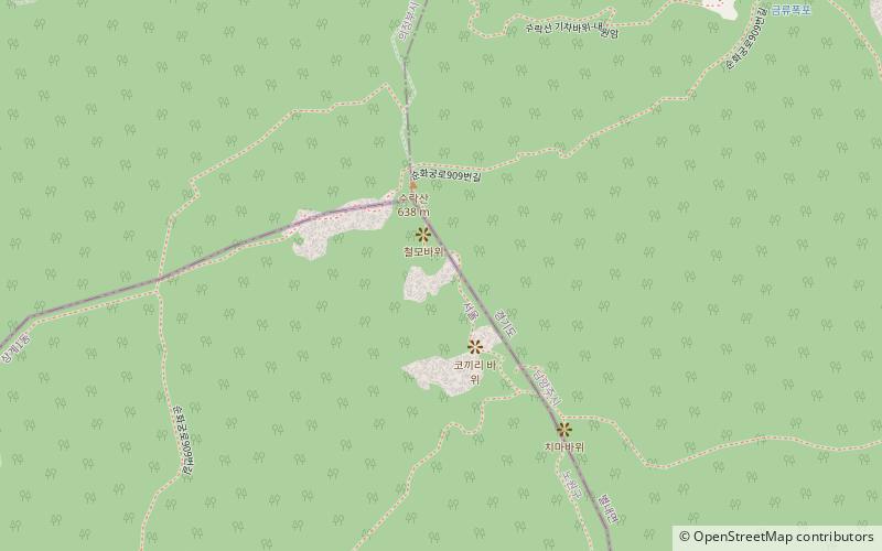
Suraksan is a mountain in South Korea. It extends across the district of Nowon-gu in Seoul, the national capital, and the cities of Namyangju and Uijeongbu, in the province of Gyeonggi-do. It has an elevation of 637.7 m. ()
노원구 (상계1동)Seoul South Korea
 MetroSeoulAirportsSeoulBus stationsSeoulRailway stations
Suraksan – popular in the area (distance from the attraction)
Nearby attractions include: Dobongsan, Onggi Folk Museum, Bukhansan, Korea Military Academy.
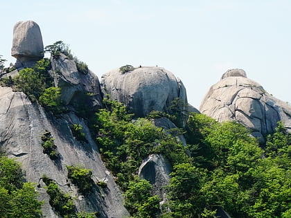 Lush peak with big rocks and an old temple
Dobongsan, Seoul
93 min walk • Dobongsan is a mountain in Bukhansan National Park, South Korea. It extends across Seoul, the national capital, and the cities of Yangju and Uijeongbu, in the province of Gyeonggi-do. It has an elevation of 739.5 m. Nearby Dobongsan Station is named after it.
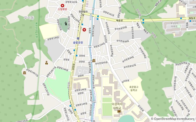 Museum, History museum
Onggi Folk Museum, Seoul
119 min walk • The Onggi Folk Museum, located in Seoul, South Korea is a private museum specializing in onggi, Korean earthenware which is used for storage and utilitarian purposes. It was established as the Goryeo Folk Museum in 1991 and later was changed to the current name.
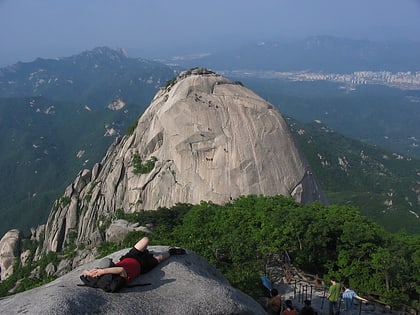 Triple-peaked mountain, a local landmark
Bukhansan, Seoul
139 min walk • Bukhansan, or Bukhan Mountain, is a mountain on the northern periphery of Seoul, South Korea. There are three major peaks, Baegundae 836.5 meters, Insubong 810.5 meters, Mangyeongdae 787.0 meters.
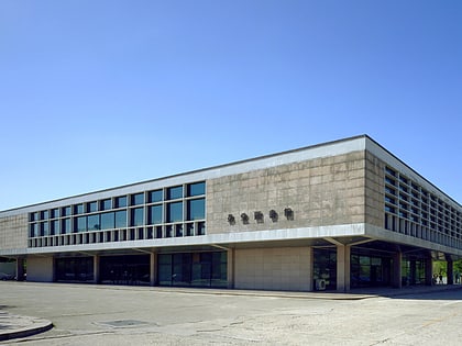 Universities and schools
Korea Military Academy, Seoul
132 min walk • Korea Military Academy is the leading South Korean institution for the education and training of officer cadets for the Republic of Korea Army. Along with the Korea Army Academy, it produces the largest number of senior officers in the Korean army.
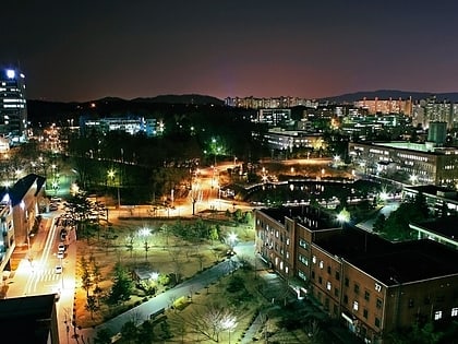 City
CityNowon District, Seoul
82 min walk • Nowon District is a residential district of Seoul, South Korea, located in the most northeastern part of the metropolitan city. It has the highest population density in Seoul, with 619,509 people living in the area of 35.44 km².
 Mountain park with trails and temples
Bukhansan National Park
136 min walk • Nestled within the Gyeonggi-do region of South Korea, Bukhansan National Park offers visitors a breathtaking escape into nature just a short distance from the bustling city of Seoul. This expansive park spans over 78 square kilometers and is renowned for its scenic...
 Nature, Natural attraction, Mountain
Cheonbosan, Uijeongbu
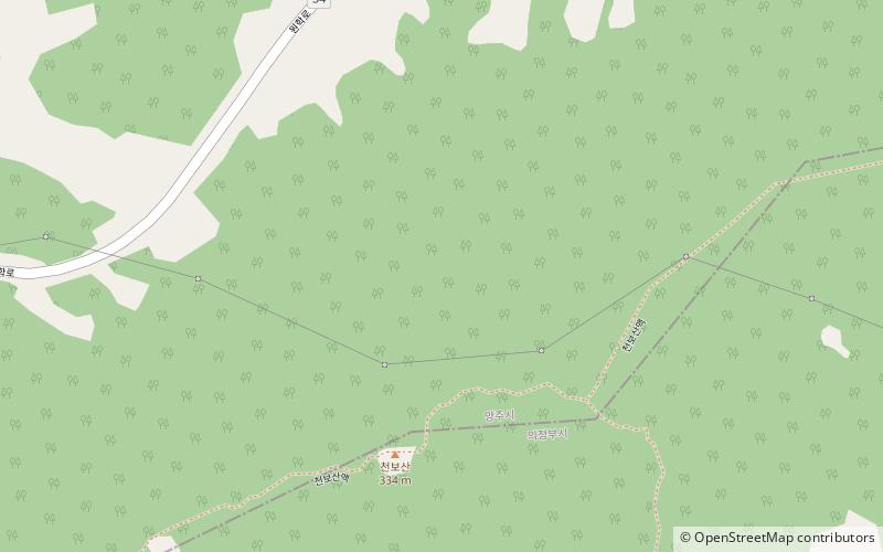
126 min walk • Cheonbosan is a mountain in Gyeonggi-do, South Korea. It can be found in the city of Yangju. Cheonbosan has an elevation of 336.8 m. The recently placed survey marker stone at the top of Cheonbosan indicates that it has an elevation of 423 m. Also, three GPS readings average out to 417 m.
 Universities and schools
Seoul National University of Science and Technology, Seoul
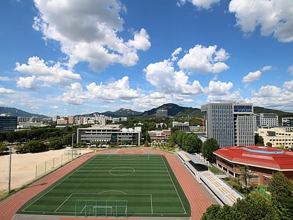
113 min walk • Seoul National University of Science and Technology is a national university located in Nowon-gu, Seoul, South Korea. Seoul National University of Science and Technology originated from Public Eoeudong Vocational Continuing School.
 Universities and schools
Kwangwoon University, Seoul
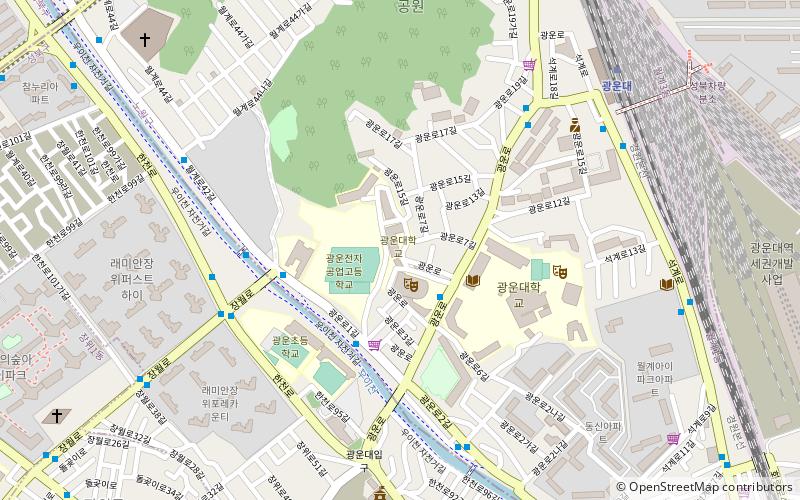
138 min walk • Kwangwoon University is a comprehensive, coeducational and private research university in Seoul, South Korea, offering undergraduate and graduate programs.
 Sport, Sport venue
Taereung International Skating Rink, Seoul
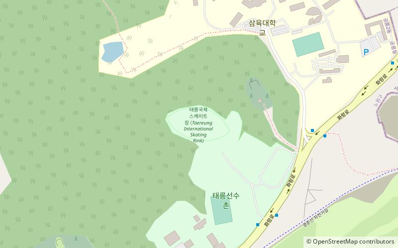
106 min walk • Taereung International Skating Rink is a speed skating oval in South Korea, used for training and competitions, operated by the Korean Olympic Committee.
 Neighbourhood
Mia-dong, Seoul
147 min walk • Mia-dong is a dong, neighbourhood of Gangbuk-gu in Seoul, South Korea. From June 30 2008, nine administrative Mia-dongs were divided Mia-dong, Samgaksan-dong, Samyang-dong, Songcheon-dong and Songjung-dong. Remained Mia-dong is former Mia 3-dong.
