Trek Zone

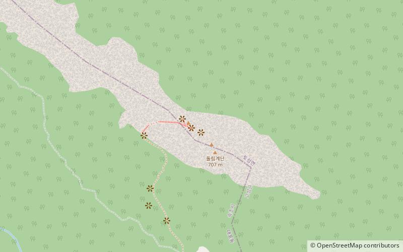
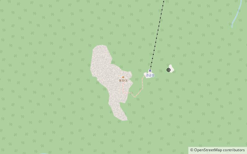
Gwongeumseong Fortress, Seoraksan National Park
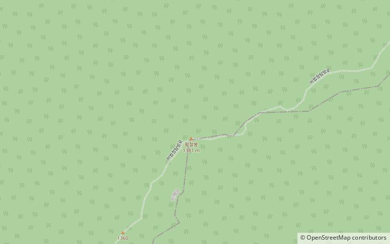
#2 among attractions in Seoraksan National Park

Historical place, Trail, Mountain, Ruins
Gwongeumseong Fortress location map
Map

Facts and practical information

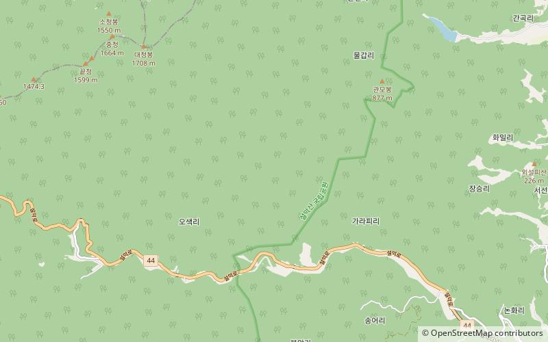
Gwongeumseong Fortress (address: Seoraksan Gungnipgongwon, Seorak-dong, Sokcho-si, 강원 속초시 설악동 설악산국립공원내) is a place located in Seoraksan National Park (Gangwon-do province) and belongs to the category of historical place, trail, mountain.

It is situated at an altitude of 2382 feet, and its geographical coordinates are 38°9'49"N latitude and 128°29'6"E longitude.

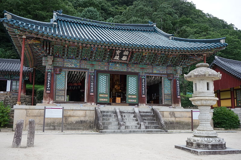
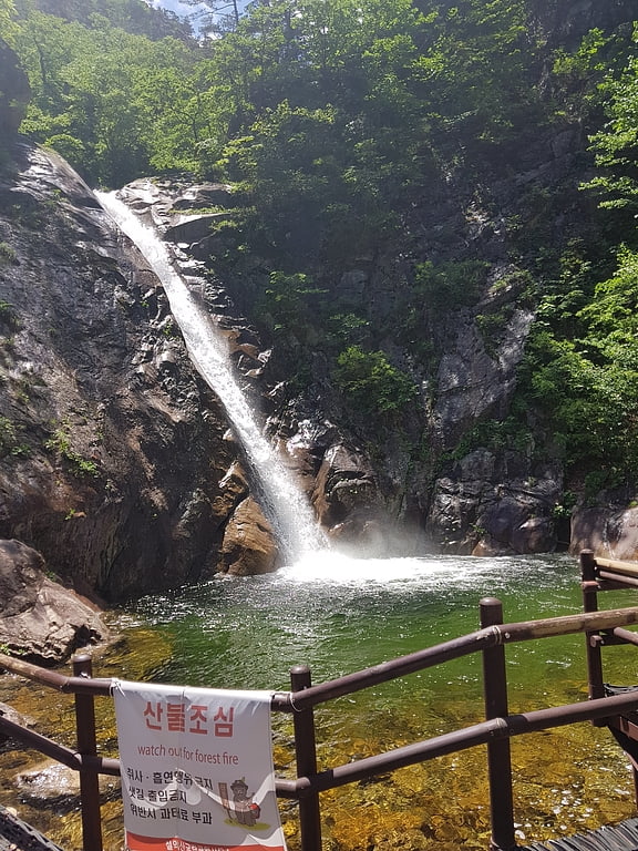
Among other places and attractions worth visiting in the area are: Sinheungsa Temple (sacred and religious sites, 21 min walk), Biryong Falls, Sokcho (waterfall, 25 min walk), Seoraksan National Park (tourist information, 45 min walk).

Coordinates: 38°9'49"N, 128°29'6"E
Address

Seoraksan Gungnipgongwon, Seorak-dong, Sokcho-si, 강원 속초시 설악동 설악산국립공원내Seoraksan National Park South Korea

Contact
Social media
Add
Day trips

Gwongeumseong Fortress – popular in the area (distance from the attraction)

Nearby attractions include: Sinheungsa Temple, Biryong Falls, Seokbong Ceramic Museum, Oseam.

  • sinheungsa temple seoraksan national park0.8 miN
  • biryong falls sokcho1 miE
  • seokbong ceramic museum sokcho location map
    5.8 miNE
  • oseam seoraksan national park3.3 miW
  • gongnyong ridge seoraksan national park2.3 miSW
  • seorak hanwha waterpia sokcho location map
    3.8 miNE
  • sokcho buddhism exhibition hall location map
    6.3 miNE
  • hwangcheolbong seoraksan national park location map
    3.6 miNW
  • ulsanbawi sokcho location map
    2.2 miN
  • expo tower sokcho location map
    5.7 miE
  • jujeongol valley seoraksan national park location map
    4.8 miS

Where to next? Visit gangwon do Gangwon-do region page or discover the top tourist attractions in South Korea.