Yeongdeungpo District, Seoul
Map
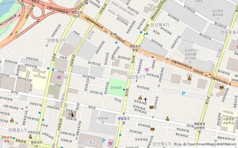
Map

Facts and practical information
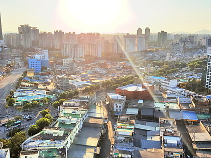
Yeongdeungpo District is an administrative district in southwest Seoul, South Korea. Although the origin of the name is uncertain, the first two syllables are thought to be from "yeongdeung" or "divine ascent", a shamanic rite. The third syllable is "po", representing the bank of a river, referring to the district's position on the Han River. The 2006 population was 408,819. ()
Day trips
Yeongdeungpo District – popular in the area (distance from the attraction)
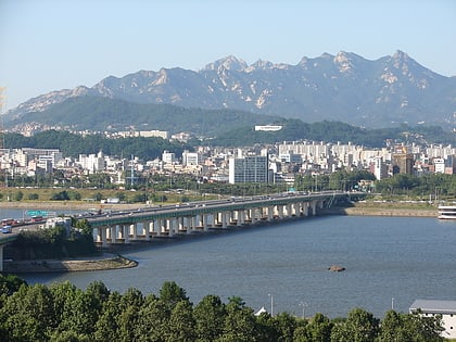
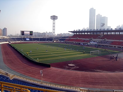
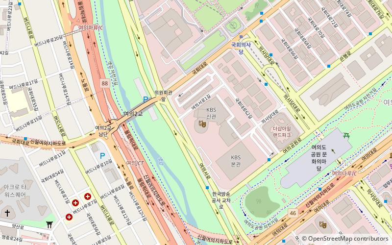
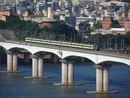
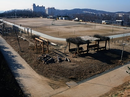
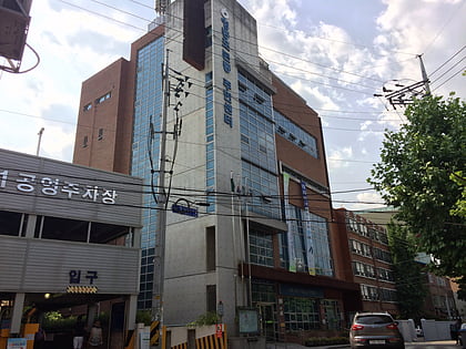
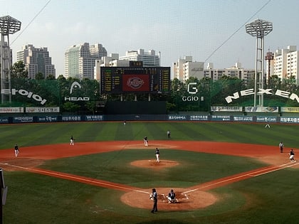
Nearby attractions include: Yanghwa Bridge, Mokdong Stadium, KBS Hall, Dangsan Railway Bridge.
Frequently Asked Questions (FAQ)
Which popular attractions are close to Yeongdeungpo District?
Nearby attractions include Mokdong Stadium, Seoul (20 min walk), Yeongdeungpo-dong, Seoul (21 min walk), Mullae-dong, Seoul (24 min walk).
How to get to Yeongdeungpo District by public transport?
The nearest stations to Yeongdeungpo District:
Metro
Bus
Train
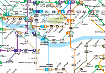
Metro
- Yeongdeungpo-gu Office • Lines: 2 (2 min walk)
- 영등포구청 • Lines: 2, 5 (5 min walk)
Bus
- TIMES SQUARE, Sinsegye Dept. Store • Lines: 9408 (22 min walk)
- 영등포로터리 • Lines: 9408 (25 min walk)
Train
- Yeongdeungpo (25 min walk)

 Metro
Metro