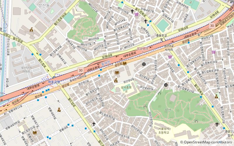
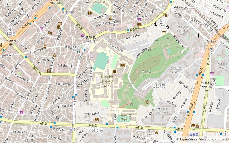
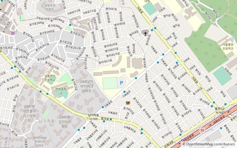
Mapo District, Seoul

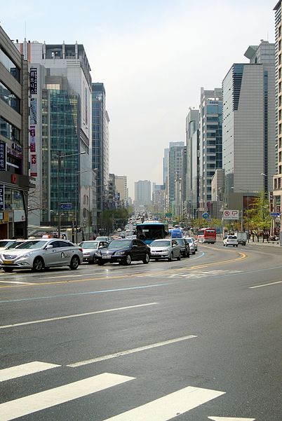
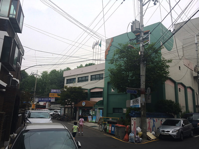
Gallery (2)
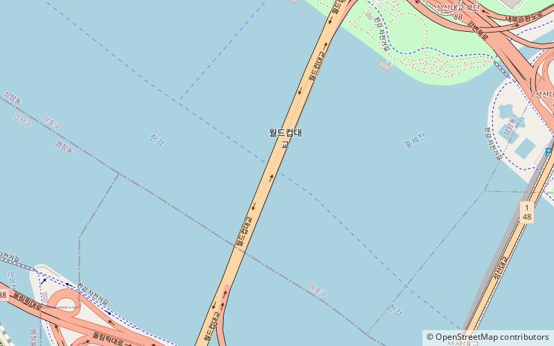
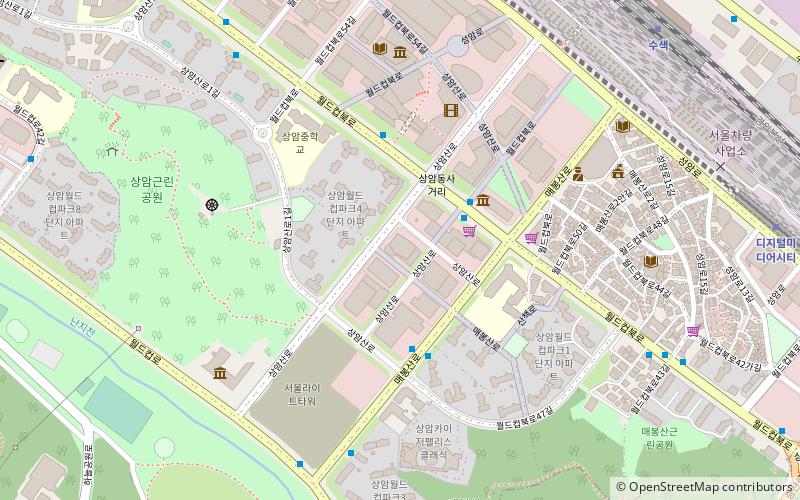
Map
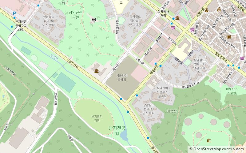
Map
Gallery
Facts and practical information
Mapo District is one of the 25 districts of Seoul, South Korea. ()
Getting there by public transportation
Public transportation stops near this location
- Metro
- Bus
- Train
 Metro
Metro
- Calculate route마포구청 7 min walk
- Calculate route가좌 13 min walk
- Calculate route망원 15 min walk
- Calculate route월드컵경기장 17 min walk
- Calculate routeMangwonjeong Entrance 20 min walk
- Calculate routeSeongsan Elementary School Entrance 20 min walk
- Calculate route새서울의원 23 min walk
- Calculate routeSeogyodong Wedding Hall Town 24 min walk
- Calculate routeSangsu 36 min walk
Maps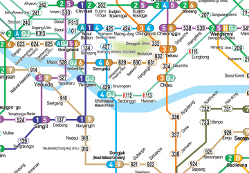 Metro
Metro
MetroDay trips


Frequently Asked Questions (FAQ)
Which popular attractions are close to Mapo District?
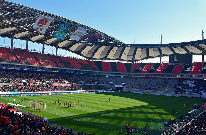
Nearby attractions include Seoul World Cup Stadium, Seoul (18 min walk), Yeonnam-dong, Seoul (19 min walk).
How to get to Mapo District by public transport?
The nearest stations to Mapo District:
Metro
Bus
Train
Metro
- 마포구청 • Lines: 6 (7 min walk)
- 가좌 • Lines: G·j (13 min walk)
Bus
- Mangwonjeong Entrance • Lines: 7011 (20 min walk)
- Seongsan Elementary School Entrance • Lines: 7011 (20 min walk)
Train
- Sangsu (36 min walk)