Gwangju Health University, Gwangju
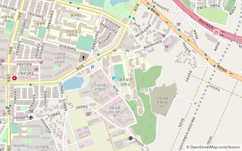
Map
Facts and practical information
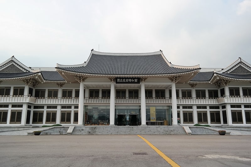
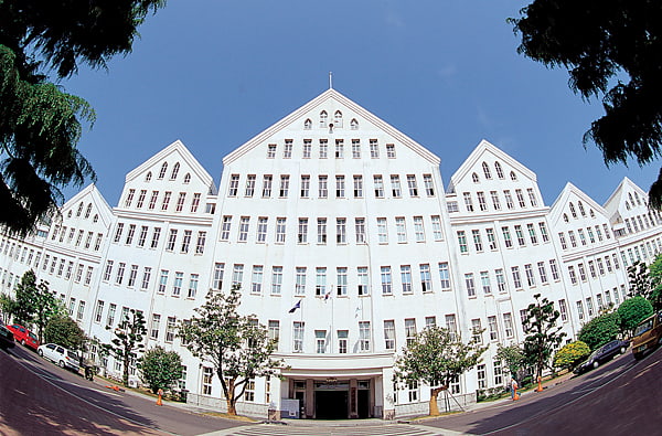
Gwangju Health University is a private bachelor's degree-granting community college located in Gwangju Metropolitan City, South Korea. Established in 1972, GHU, has received national accreditation by the Ministry of Education as a World Class College in 2013, rated "Level A" for Structure Reformation Evaluation in 2016, and rated "Level S" for Specialized Education since 2015. There are over 4,000 students attending one of fourteen academic programs on campus. The academic programs at GHU focus on humanities and social sciences and the natural sciences. Various 2-year associate degree programs, 3-year associate degree programs, 4-year bachelor's degree program, and intensive study programs for a bachelor's degree are offered at GHU. ()
Getting there by public transportation
Public transportation stops near this location
- Bus
- Light rail
- Train
 Bus
Bus
- Calculate route보건대입구 8 min walk
- Calculate route전남공고입구 8 min walk
- Calculate route반촌 10 min walk
- Calculate route신창중 12 min walk
- Calculate routeGeungnakgang 33 min walk
- Calculate routeSinga 36 min walk
Day trips


Frequently Asked Questions (FAQ)
How to get to Gwangju Health University by public transport?
The nearest stations to Gwangju Health University:
Bus
Train
Light rail
Bus
- 보건대입구 • Lines: 송암72 (8 min walk)
- 전남공고입구 • Lines: 송암72 (8 min walk)
Train
- Geungnakgang (33 min walk)
Light rail
- Singa • Lines: 2 (36 min walk)