Trek Zone

Paju National Football Center, Paju

#9 among attractions in Paju

Sport, Arenas and stadiums, Sport venue
Paju National Football Center location map
Map

Facts and practical information
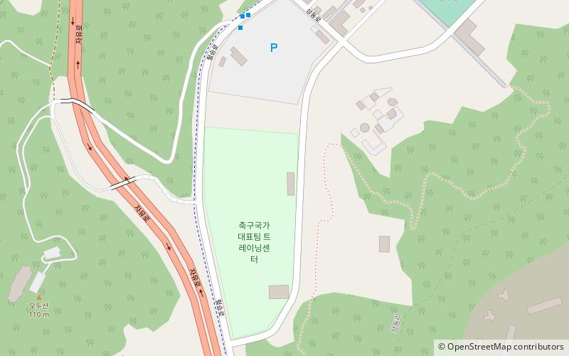
Local name: 대한민국 축구 국가대표팀 트레이닝 센터 Coordinates: 37°46'32"N, 126°41'6"E
Address

Paju South Korea

ContactAdd
Social media
Add
Day trips

Paju National Football Center – popular in the area (distance from the attraction)

Nearby attractions include: Odusan Unification Observatory, Jangneung, 5geunlingong-won, Paju Stadium.

  • odusan unification observatory paju0.4 miW
  • jangneung paju1.3 miE
  • 5geunlingong won paju4 miS
  • paju public stadium location map
    5.7 miE

Where to next? Visit gyeonggi do Gyeonggi-do region page or discover the top tourist attractions in South Korea.