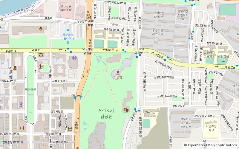
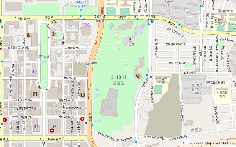
5.18 Memorial Park, Gwangju
Facts and practical information
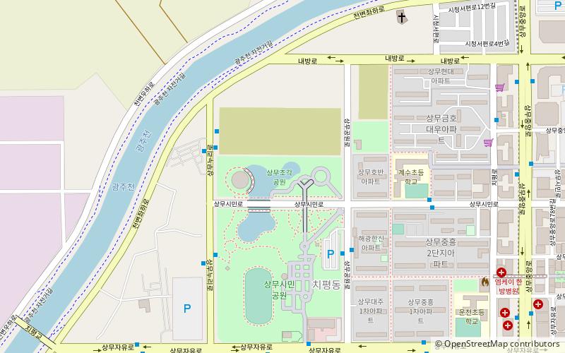
5.18 Memorial Park is a place located in Gwangju (Gwangju metropolitan city) and belongs to the category of museum, park, monuments and statues.
It is situated at an altitude of 118 feet, and its geographical coordinates are 35°9'27"N latitude and 126°51'29"E longitude.
Planning a visit to this place, one can easily and conveniently get there by public transportation. 5.18 Memorial Park is a short distance from the following public transport stations: City Hall (bus, 6 min walk), Uncheon (metro, 13 min walk), City Hall (light rail, 15 min walk).
Among other places and attractions worth visiting in the area are: 5·18 Memorial Park (park, 4 min walk), Sangmujogaggong-won (park, 25 min walk), Gwangju Mudeung Stadium (sport venue, 28 min walk).
Gwangju
- Metro
- Bus
- Light rail
 Metro
Metro
- Calculate routeCity Hall 6 min walk
- Calculate route계수 9 min walk
- Calculate route버들마을 11 min walk
- Calculate route운천역 12 min walk
- Calculate routeUncheon 13 min walk
- Calculate routeSsangchon 20 min walk
- Calculate routeSangmu 24 min walk
- Calculate routeCity Hall 15 min walk
- Calculate routeChipyeong 18 min walk
- Calculate routeGeumho 24 min walk
- Calculate route유덕 24 min walk


Frequently Asked Questions (FAQ)
How to get to 5.18 Memorial Park by public transport?
Bus
- City Hall • Lines: 지원25 (6 min walk)
- 계수 • Lines: 지원25 (9 min walk)
Metro
- Uncheon • Lines: 1 (13 min walk)
- Ssangchon • Lines: 1 (20 min walk)
Light rail
- City Hall • Lines: 2 (15 min walk)
- Chipyeong • Lines: 2 (18 min walk)