
Ulleungdo Travel Guide
Facts and practical information
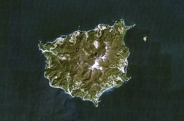
Located in the Gyeongsangbuk-do region of South Korea, Ulleungdo is a captivating island nestled in Ulleung County. With its stunning natural landscapes and rich cultural heritage, this hidden gem offers a unique and memorable travel experience.
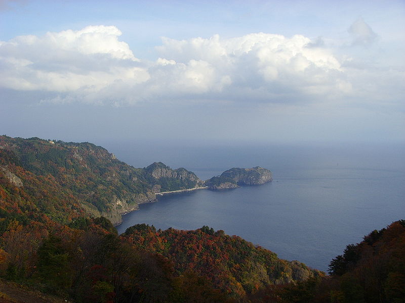
Ulleungdo is renowned for its breathtaking scenery, boasting majestic cliffs, lush forests, and vibrant fields. The island is also home to a dormant volcano called Seonginbong, which offers hiking enthusiasts a thrilling adventure to its summit. As you ascend, you'll be treated to panoramic views of the surrounding sea and the picturesque Dokdo islets in the distance.
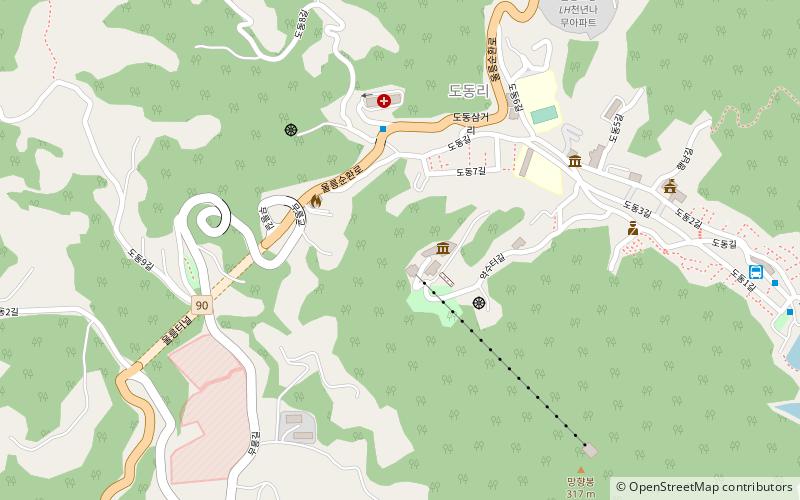
For those seeking tranquility and relaxation, Ulleungdo offers pristine beaches and crystal-clear waters. Jeodong Beach is a popular choice, with its soft white sands and calm waves perfect for swimming and sunbathing. Alternatively, you can visit Dodong Beach, known for its unique rock formations and tranquil atmosphere.
Immerse yourself in the island's rich cultural heritage by exploring its traditional villages and historic sites. The quaint village of Jeodong showcases traditional houses and local customs, allowing you to get a glimpse of traditional Korean life. Don't miss the opportunity to visit the Dokdo Museum, where you can learn about the history and significance of the nearby Dokdo islets.
Ulleungdo is also famous for its delectable seafood, which is freshly caught from the surrounding waters. Indulge in a culinary adventure by sampling local specialties such as hoe (raw fish) and haemultang (spicy seafood stew). For a truly authentic experience, visit the bustling fish market in Dodong and savor the vibrant atmosphere as locals go about their daily routines.
To fully appreciate the natural wonders of Ulleungdo, embark on a boat tour around the island. Marvel at the dramatic cliffs, hidden caves, and cascading waterfalls that adorn its rugged coastline. Keep an eye out for the diverse marine life that inhabits these waters, including dolphins and various species of fish.
Gyeongsangbuk-do
Ulleungdo Attractions - What to See and Explore
Ulleungdo offers many attractions and places to visit. Here are the most important ones: Ulleung County, Seonginbong, Dokdo Museum. Below you will find a complete list of places worth visiting.
Best Time To Visit Ulleungdo
Learn when is the best time to travel to Ulleungdo weather-wise and what to expect in each season.