Seondalsan

Map
Facts and practical information
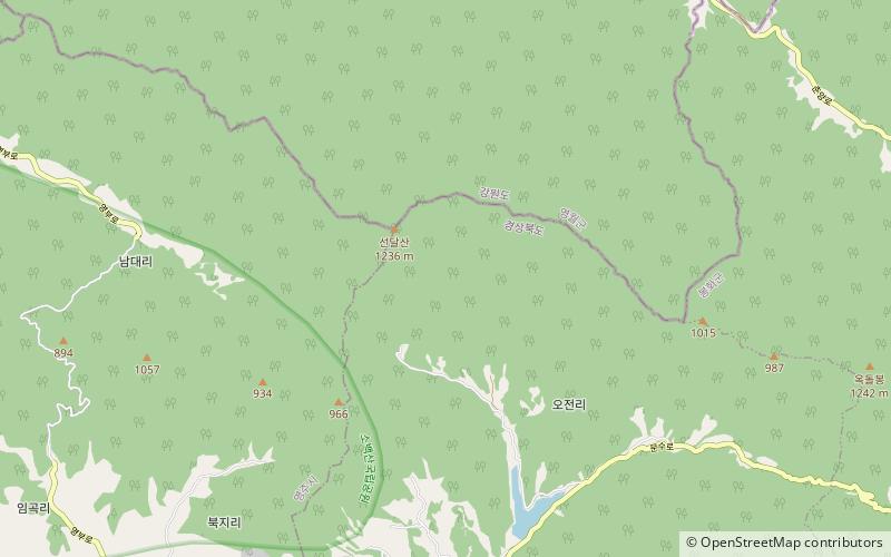
Seondalsan is a South Korean mountain that sits between the county of Yeongwol, Gangwon-do and Bonghwa, Gyeongsangbuk-do. It has an elevation of 1,236 m. ()
Elevation: 4055 ftCoordinates: 37°1'60"N, 128°43'1"E
Location
Gangwon-do
ContactAdd
Social media
Add
Day trips
Seondalsan – popular in the area (distance from the attraction)
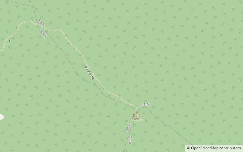
Nearby attractions include: Buseoksa Temple, Eoraesan, Munsusan.


